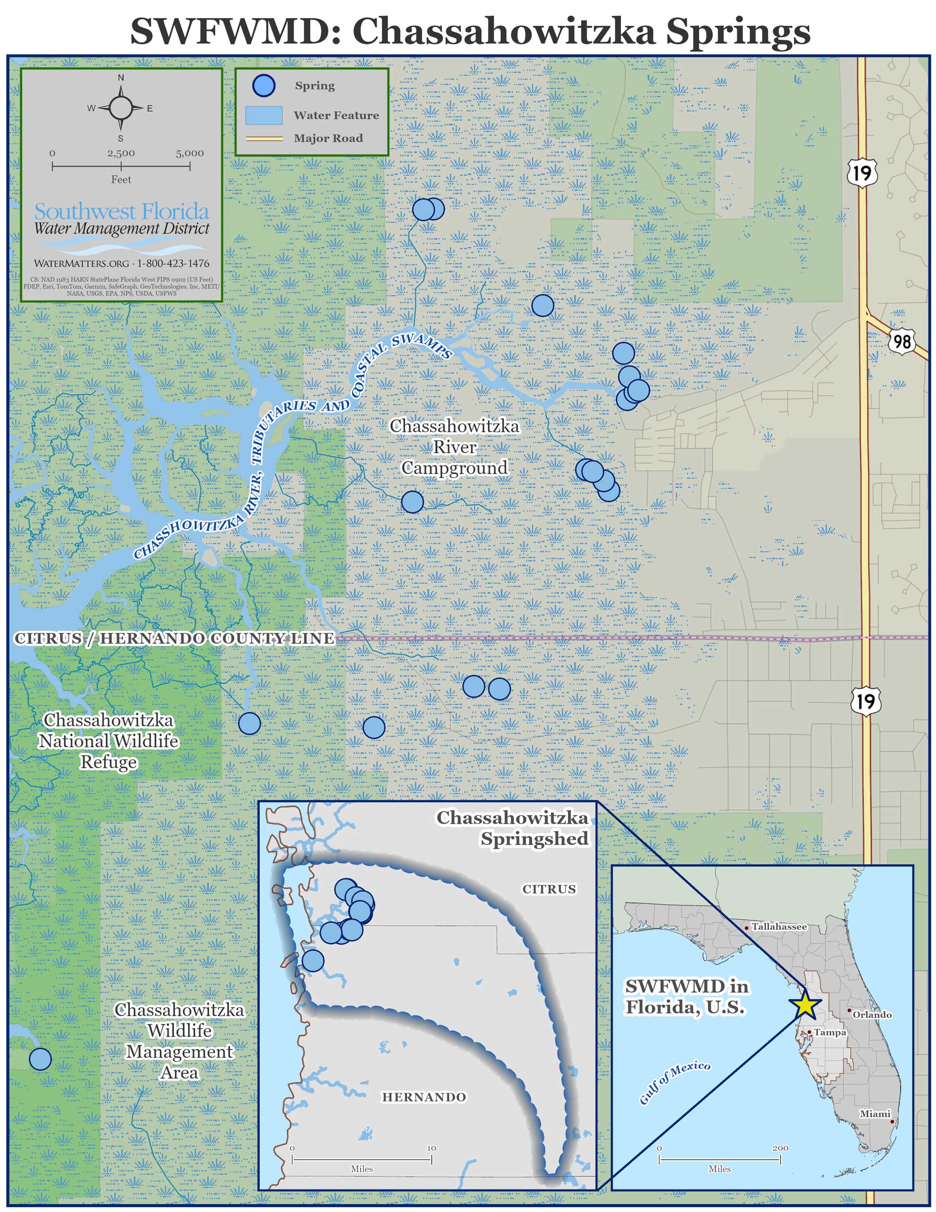
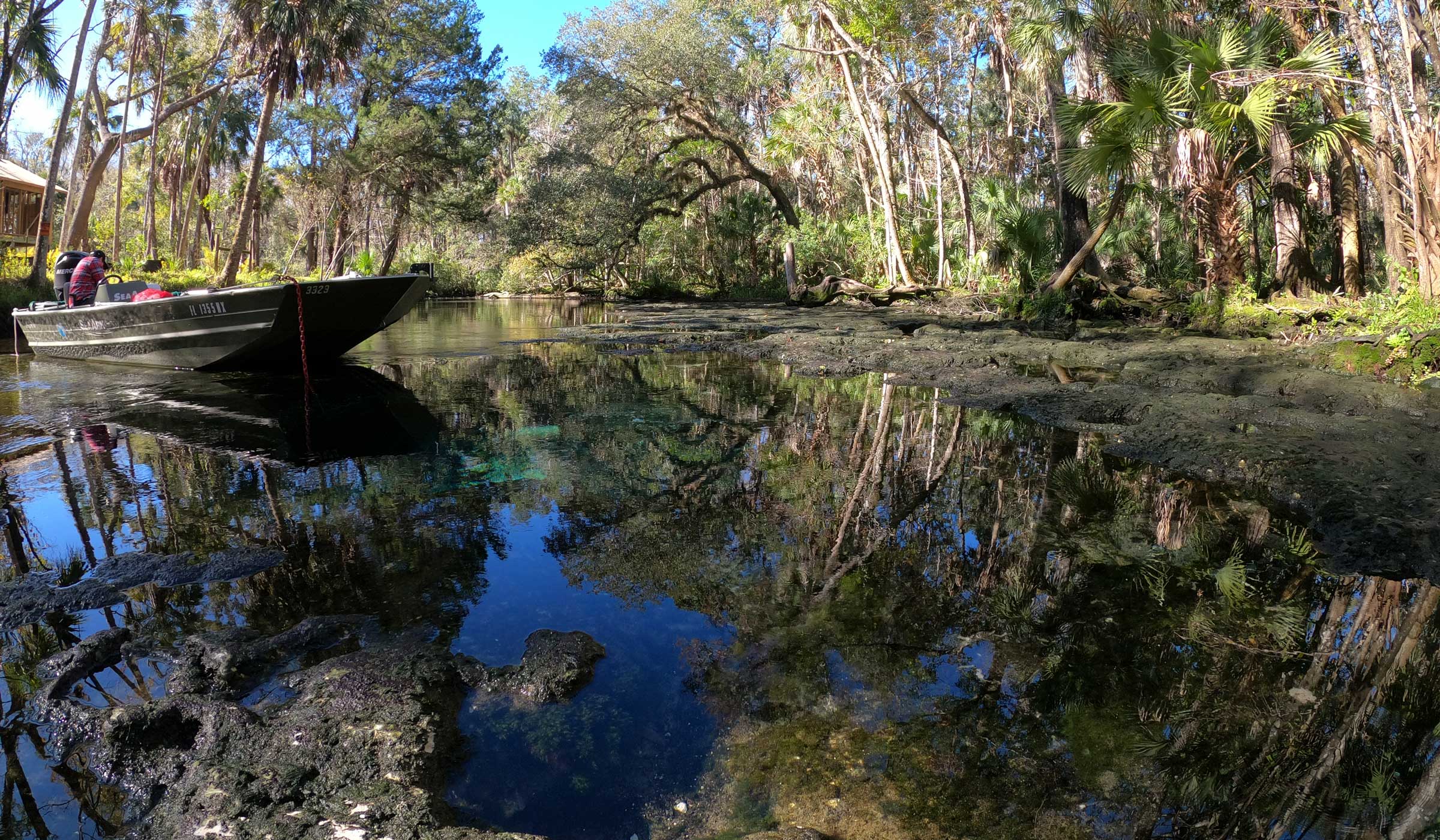
Made up of a dozen springs, Chassahowitzka Springs is the headwaters of one of the most ecologically healthy rivers in west-central Florida.
About the Springs
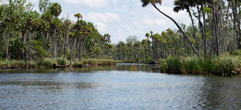
The Chassahowitzka River is a first-magnitude spring system that originates in southwest Citrus County. The river is known for being short and shallow, flowing 5.6 miles from the headsprings to the Gulf of America. Mid-channel depths range from 2 to 9 feet depending on tides and location.
Click to view map larger.
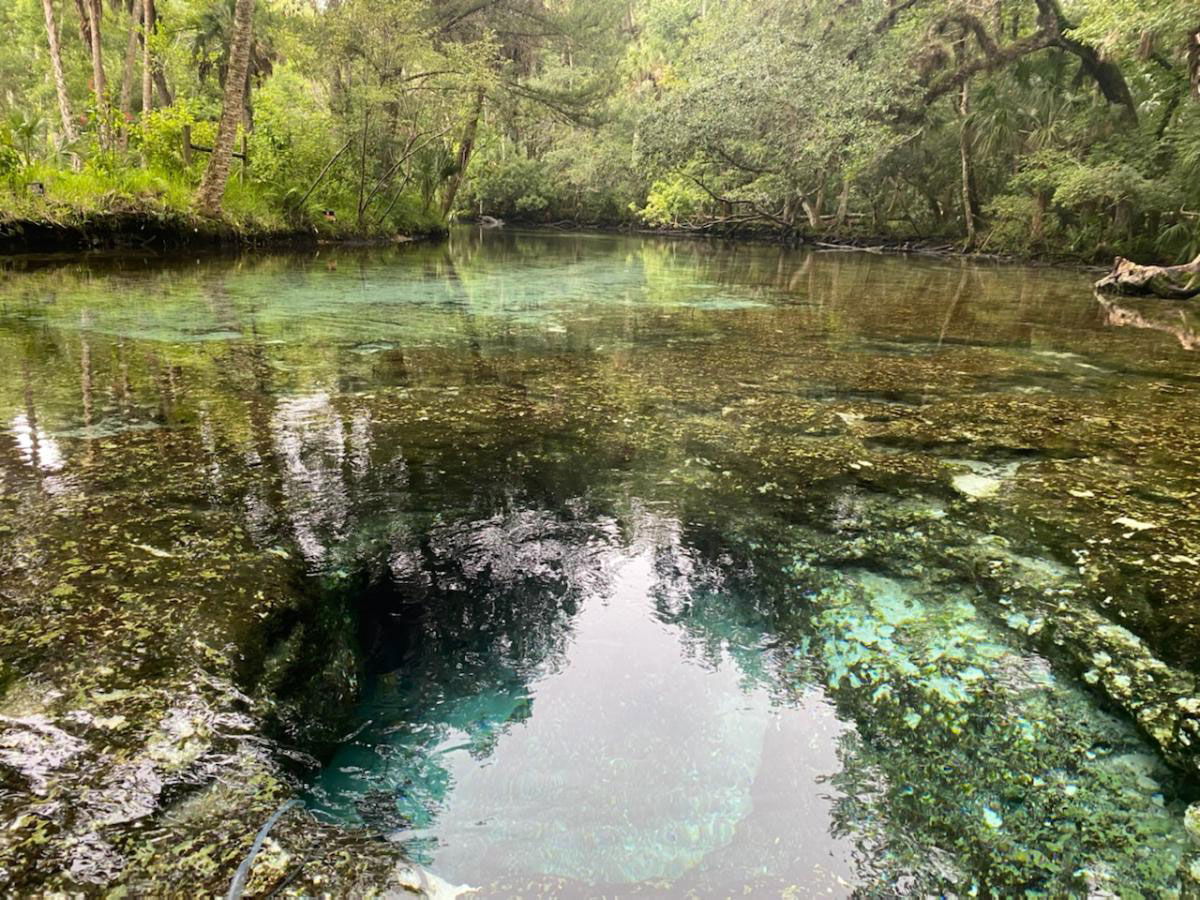
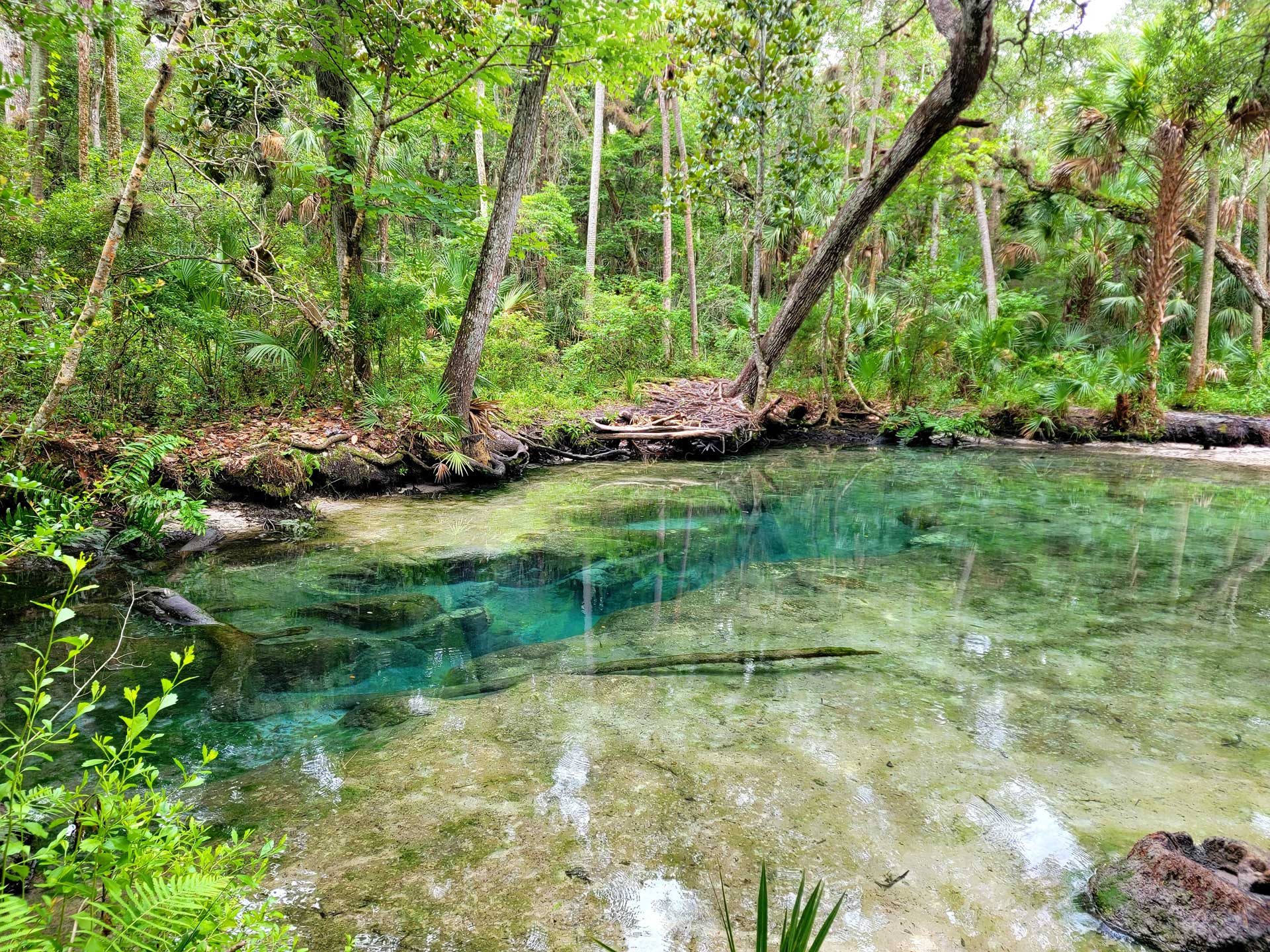
Many springs make up the Chassahowitzka River system. The Chassahowitzka Main Spring is at the head of a large pool near the public boat ramp. Upstream of the main spring is Seven Sisters Springs, named for the seven circular vents within the limestone. There are many smaller springs, such as Crab Spring, Baird Spring (also known as “the Crack”), Potters Creek Spring and Salt Creek Spring, forming spring runs connecting to the river.
The Chassahowitzka springshed, which contributes groundwater to the Chassahowitzka spring system, is approximately 190 square miles and covers a significant land area in northern Hernando County and southern Citrus County. Rainfall in this region directly affects the amount of water discharged from the springs by impacting the water level in the aquifer, which provides the driving force for spring flow. Due to its proximity to the Gulf of America, tidal stage also impacts the amount of flow from springs in the Chassahowitzka River system.
Challenges
The primary issues facing this system include nitrate enrichment, changing salinity, potential decreases in historical flows, and decreases in desirable aquatic vegetation. Nitrate concentrations are higher compared to historical concentrations for many of the springs in the Chassahowitzka River system. These elevated concentrations can have adverse effects on the ecosystem. Long-term spring flow is largely affected by rainfall patterns and to a lesser extent by groundwater withdrawals. The Chassahowitzka River system has an adopted Minimum Flows and Levels (MFL). Changes in vegetation are likely due to salinity changes and manatee grazing. Increased recreational activities have had negative environmental impacts on the river by damaging vegetation, which increases erosion and negtively impacts water quality.
Unique Features
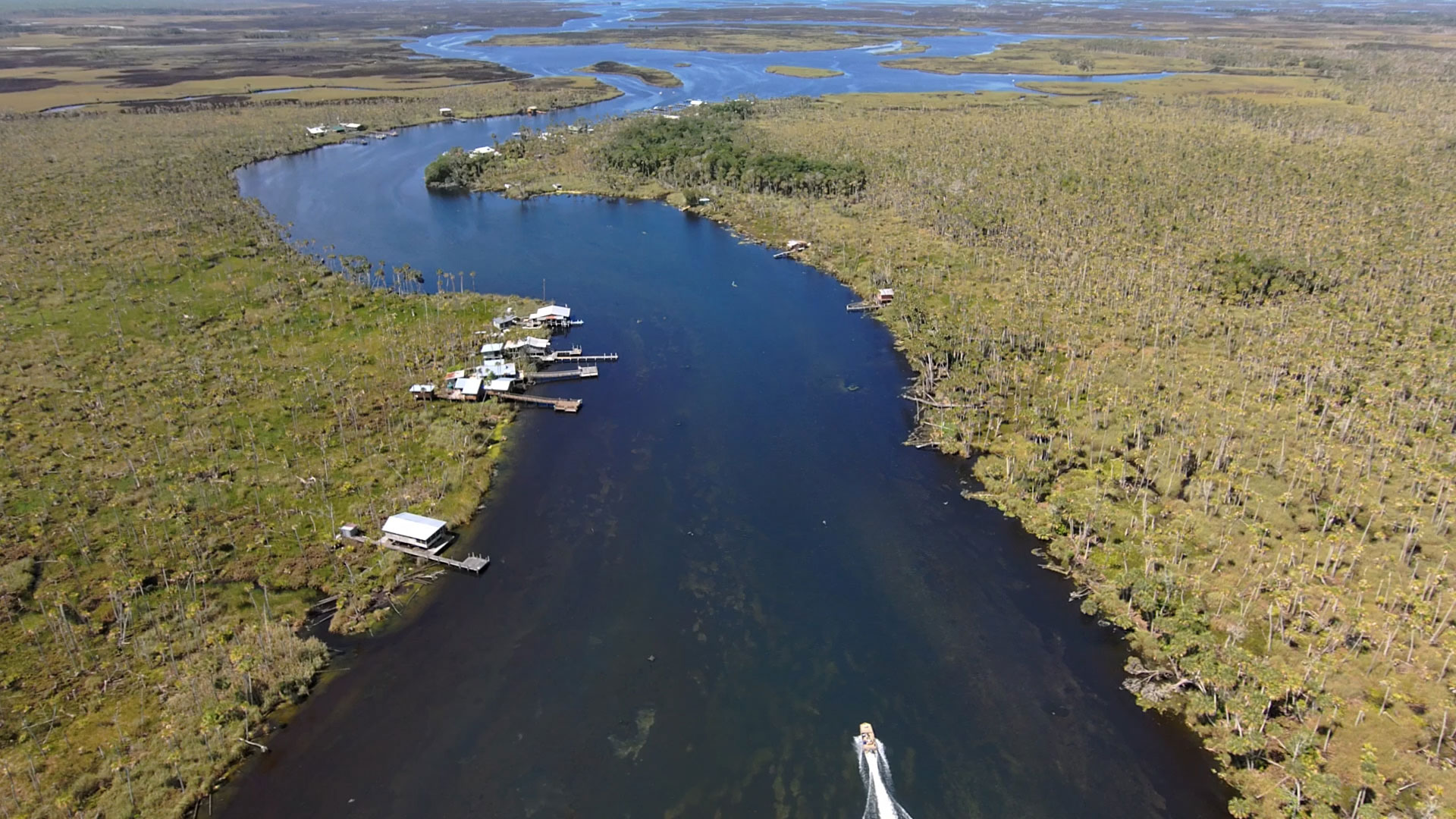
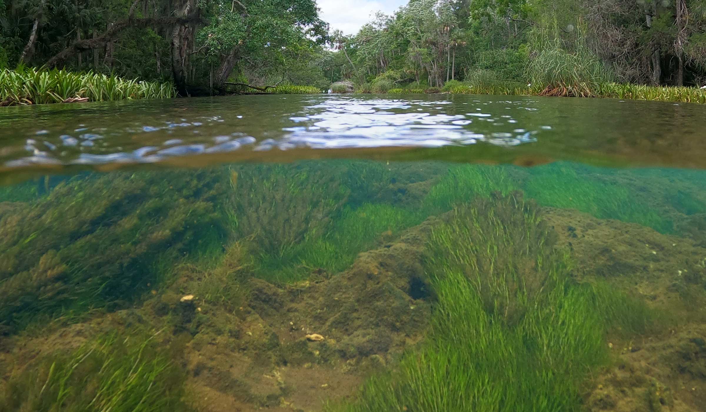
The Chassahowitzka River and its associated springs are heavily influenced by its proximity to the Gulf of America. Not only does tide impact the amount of flow, but many of the smaller springs are considered salt springs, which discharge brackish groundwater. Since each spring may have a different localized water source, even springs in close proximity may vary from fresh to brackish under similar conditions.
The river transitions from a fresh, clear water spring to a tannin-colored, brackish river. Closer to the mouth of the river near the mangrove islands and oyster bars, water clarity improves as the river transitions to a marine environment.
The ecology of the river also transitions with changes in the river. Salinity impacts the types and locations of submerged aquatic vegetation (SAV) throughout the system. Changing salinity, particularly due to sea level rise and from frequent storm events such as hurricanes, is an emerging issue in the Chassahowitzka River.
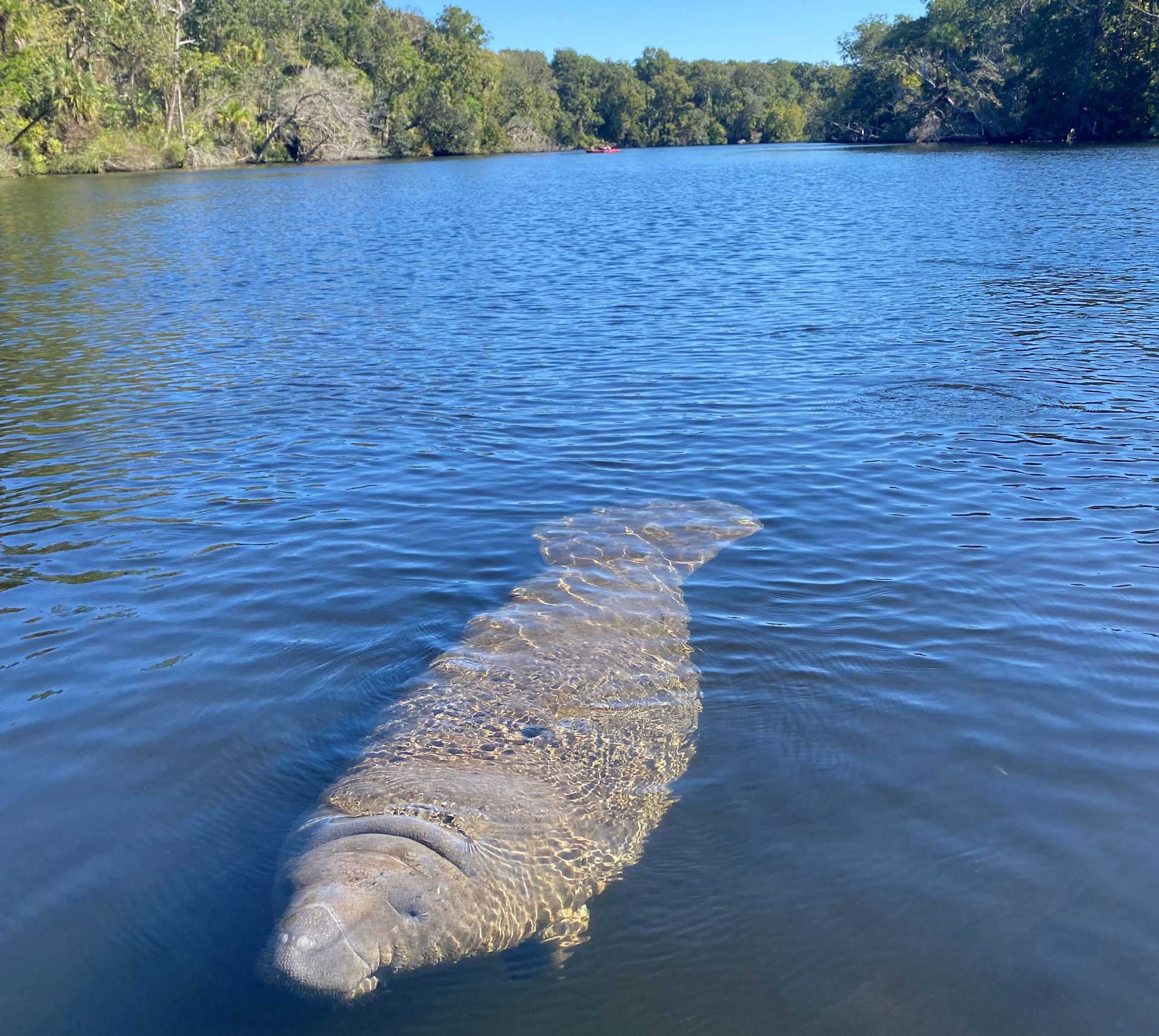
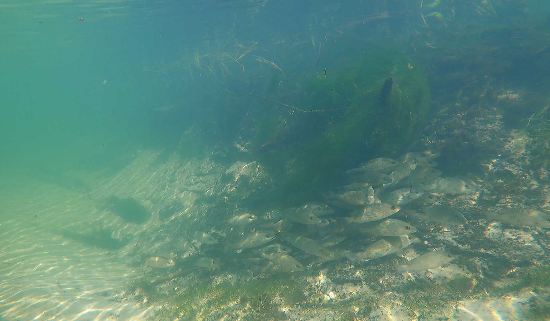
The river is home to both freshwater and saltwater species of animals due to the influence of the Gulf of America. For example, freshwater fish are more commonly found during the summer months and saltwater fish are more common in the winter. Visitors can spot river otters, manatees, alligators, blue crabs, stingrays and even bull sharks swimming in the river. Various birds, raccoons, snakes, squirrels, white-tailed deer and bobcats occasionally may be observed along the banks.
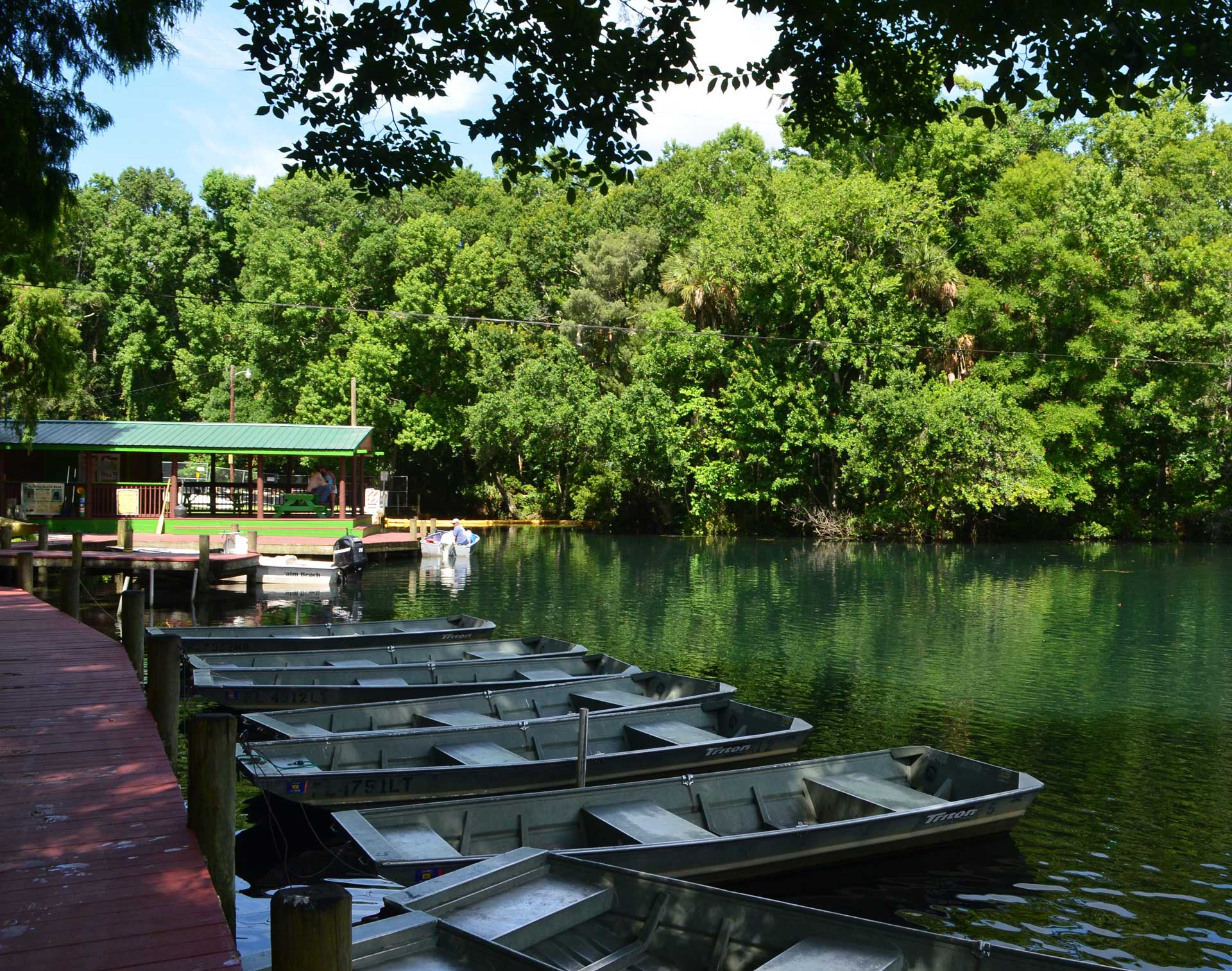
Gallery
Click on any of the thumbnails to view the gallery slideshow.
Data Collection
Water quality is routinely monitored in the Chassahowitzka River, with some parameters collected hourly. The data is available through the District’s Environmental Data Portal. Various information is collected including nitratelevels, water clarity, spring flow and salinity. Submerged aquatic vegetation is currently mapped twice a year within the river at specified locations. A summary of the current data for the Chassahowitzka River in relation to the parameters collected by the District can be viewed in this report:
The District has designated the Chassahowitzka River system as a Surface Water Improvement and Management (SWIM) priority water body. Additionally, this system is designated as an Outstanding Florida Spring and an Outstanding Florida Water by the state. These designations provide additional protections and require management plans to ensure the river's conservation and restoration for future generations. The District has invited local, regional and state agencies to form the Springs Coast Committees, who assist in the development of the District’s management plans tailored for each spring system, called SWIM plans. The Chassahowitzka River SWIM Plan can be viewed here: