The ROMP Objectives
- Provide information about the groundwater systems within the District.
- Monitor saltwater intrusion along the coast.
- Identify areas of poor groundwater quality.
- Install wells for water level and water quality monitoring.
About the Program
The majority of the water used within the Southwest Florida Water Management District (District) comes from groundwater sources and it is the District’s responsibility to protect this important resource. Therefore, in 1974, the Regional Observation and Monitor-well Program (ROMP) was created to construct monitoring wells. These monitoring wells enable the District to collect information about the region’s water supply and water quality. The Geohydrologic Data Section administers the ROMP.
The ROMP Process
Each ROMP site goes through a series of phases before the final phase of being incorporated into one of the District’s long-term water level or water quality monitoring networks. The phases include:
- Site Acquisition
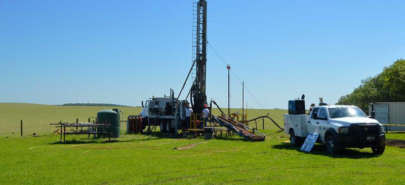
Staff identifies sites where there is a need for geologic and aquifer data. The proper rights and permits for the sites are obtained before drilling. - Exploratory Drilling and Testing
The geology and depth of each aquifer are identified and used in the planning of well construction and aquifer performance testing. In addition, water quality samples are collected and areas of poor groundwater quality are identified. Mainly, Geohydrologic Data staff identifies potable (drinking quality) versus nonpotable groundwater portions of the aquifer. - Monitor Well Construction
Temporary wells are installed for aquifer performance testing, and permanent wells are installed for long-term monitoring. - Aquifer Performance Testing
During testing, water is pumped continuously from an aquifer. Water levels are measured during pumping and are used to determine aquifer properties. An aquifer performance test is completed on each freshwater aquifer found at the site. Once complete, temporary wells are plugged and the remaining wells enter one of the District’s water level and/or water quality monitoring network(s). - Water Level and Water Quality Monitoring
Water levels and/or water quality of the sites are continuously monitored by the District’s Water Quality Monitoring Program and Hydrologic Data Section.
Once aquifer performance testing is complete, a report is written with aquifer data, water quality data, geologic sample descriptions and geophysical logs.
More information on Geohydrologic Data can be found on the Geohydrologic Data webpage. An interactive map of all Geohydrologic Data well sites, links to associated well site reports, lithologic core descriptions, geophysical logs, and detailed information about individual monitors located at each well site can be found by launching the Geohydrologic Data Monitor-Well Sites Viewer.