About the Springs
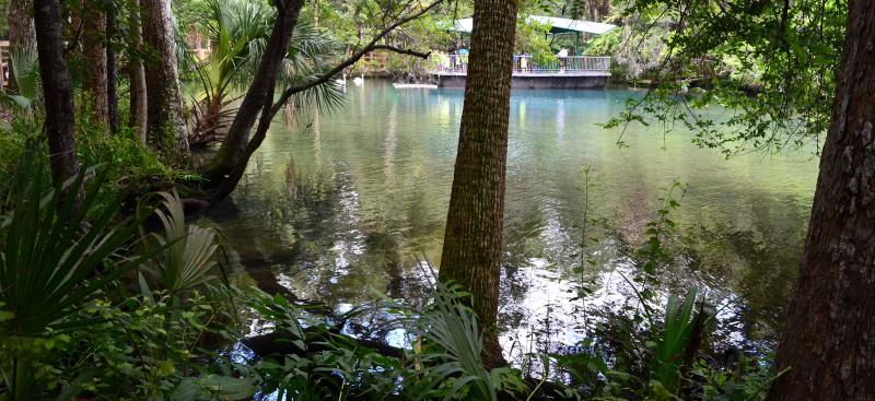
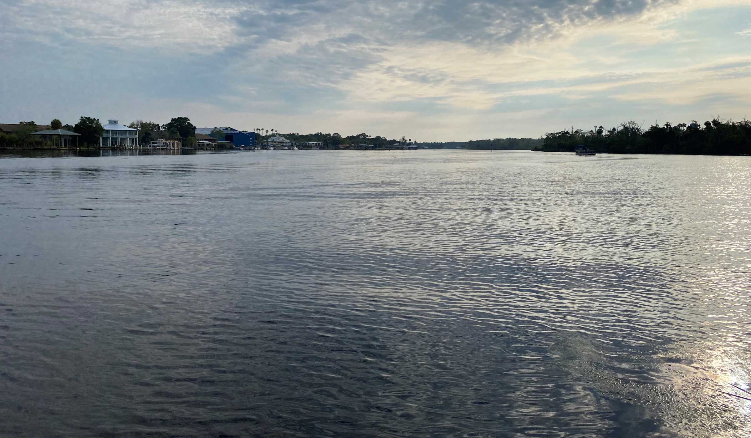
The Homosassa River is a first-magnitude spring system originating in western Citrus County. Homosassa Springs is at the headwaters of this short, slow moving tidal river, which flows 8 miles from the headsprings to where it meets the Gulf of America.
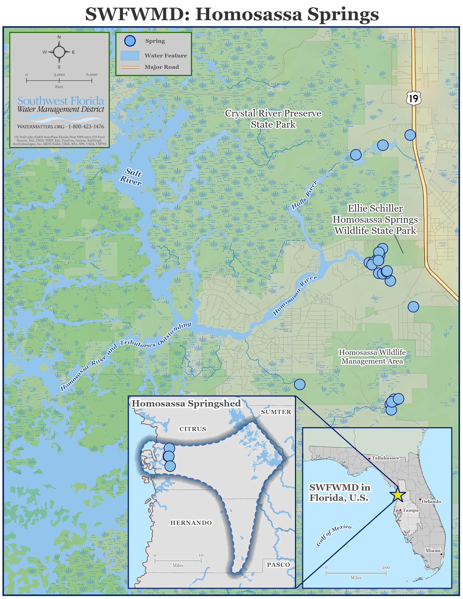
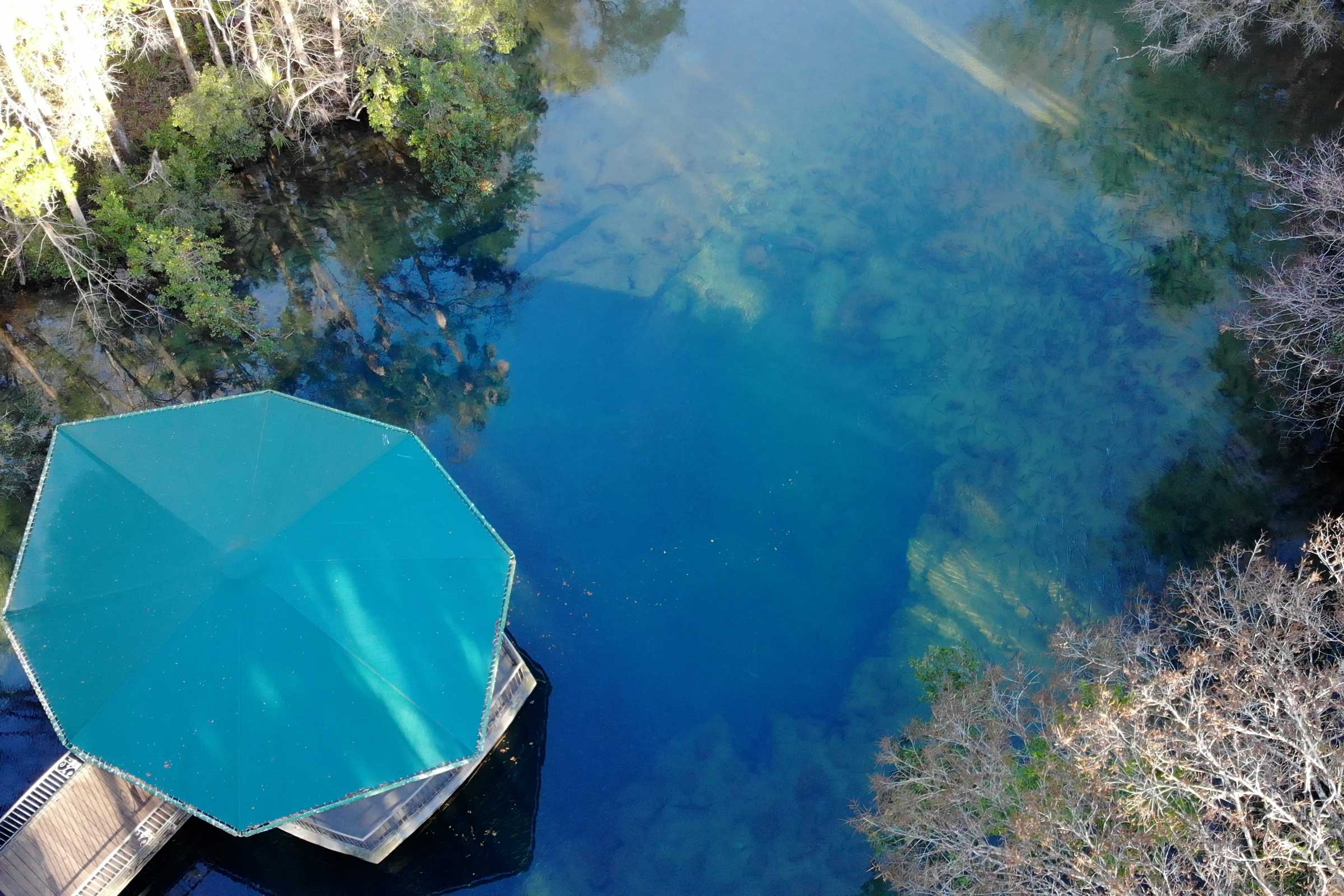
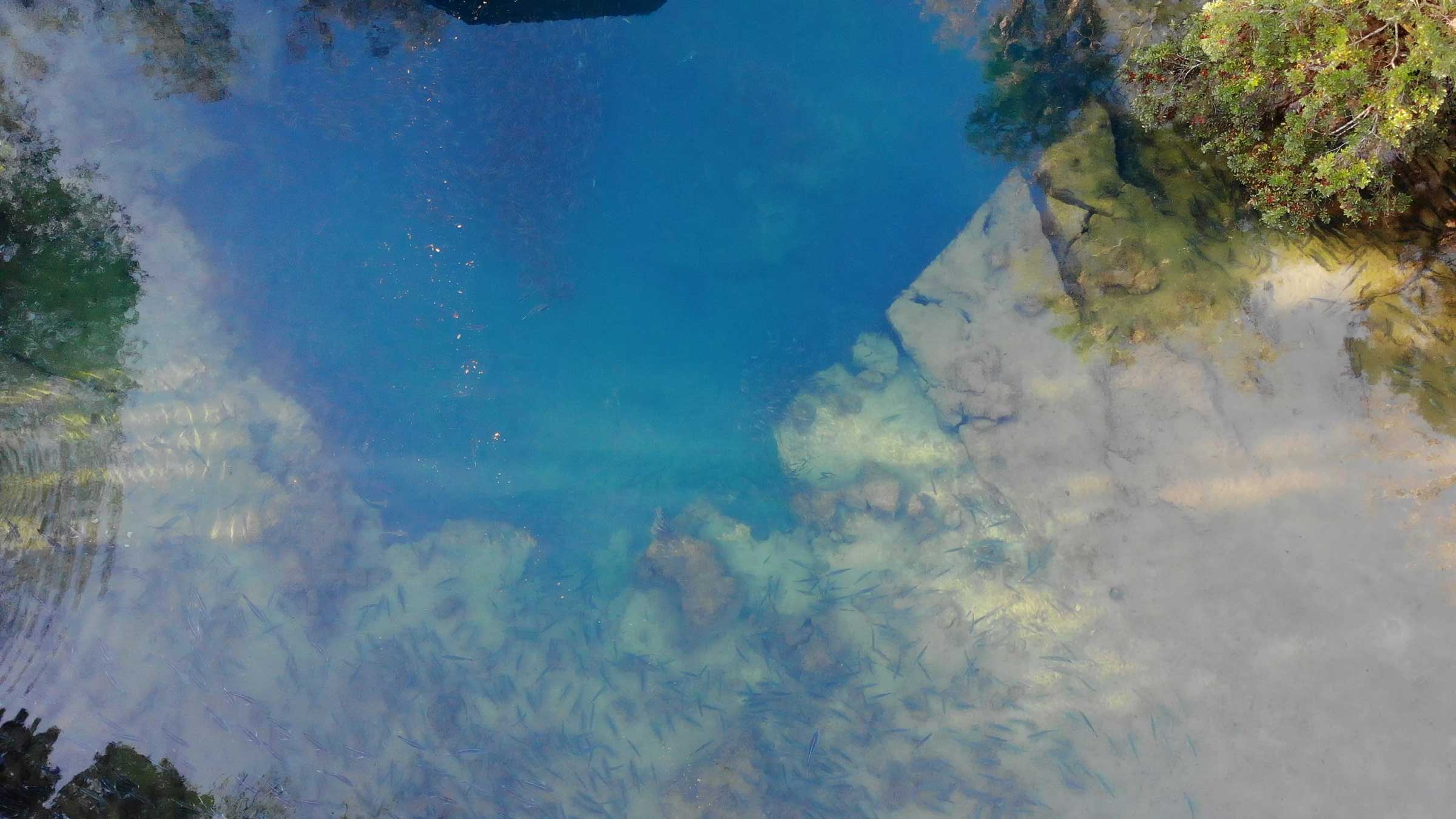
Many springs make up the Homosassa River system. The main spring can be viewed from the underwater observatory at the Ellie Schiller Homosassa Springs Wildlife State Park. This spring is unique because the headspring vent flows from three points underground with varying water quality and different salinities that blend together before exiting into the large pool underneath the observatory. In addition, there are two smaller spring-fed tributaries flowing into the Homosassa River, which are the Southeast Fork and the Halls River.
The Homosassa springshed, which contributes groundwater to the Homosassa spring system, is approximately 286 square miles and covers a significant amount of land in northern Hernando County and central Citrus County. Rainfall in this region directly affects the amount of water discharged from the springs by impacting the water level in the aquifer, which provides the driving force for spring flow. Due to its proximity to the Gulf of America, tidal stage also impacts the amount of flow from springs in the Homosassa River system.
Challenges
The primary issues facing this system include nitrate enrichment, changing salinity, potential decreases in historical flows and decreases in desirable aquatic vegetation. Nitrate concentrations are higher compared to historical concentrations for many of the springs in the Homosassa River system. These elevated concentrations can have adverse effects on the ecosystem. Long-term spring flow is largely affected by rainfall patterns and to a lesser extent by groundwater withdrawals. The Homosassa River system has an adopted Minimum Flows and Levels (MFL). Changes in vegetation are likely due to a combination of drivers including invasive species competition, recreation, sediment accumulation, and salinity. Changing salinity, particularly due to sea level rise and from frequent storm events such as hurricanes, is an emerging issue in the Homosassa River. Development has replaced much of the natural shoreline and adjacent wetlands surrounding the river.
Unique Features
Homosassa Springs has been a tourist attraction since the early 1900s. During that time, trains would stop to let rail passengers rest at the springs while it was loaded with fish, crabs, cedar wood and spring water. The headsprings area is now part of the Ellie Schiller Homosassa Springs Wildlife State Park. This park features native wildlife that are unable to survive in the wild on their own and serves as ambassadors for their species.
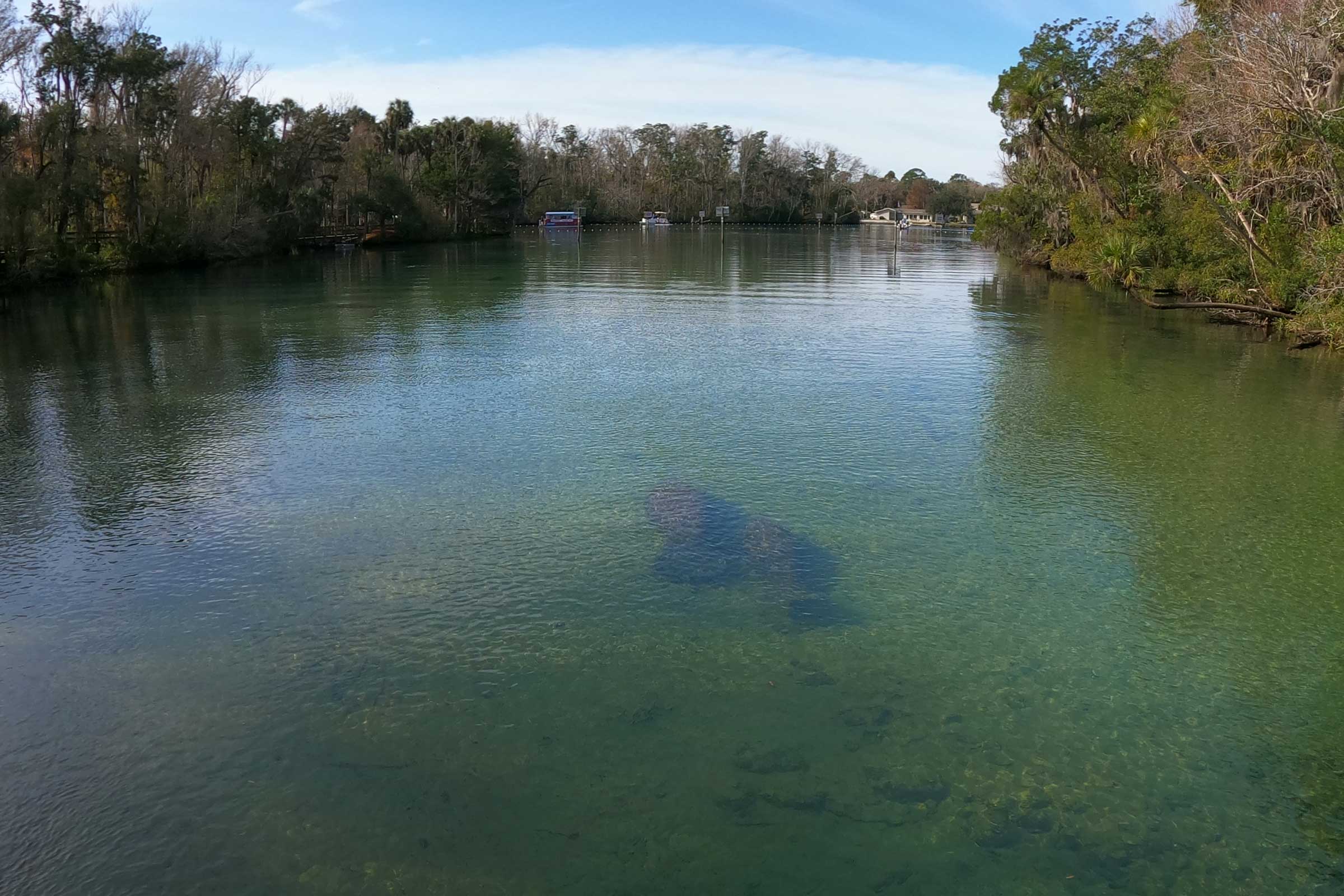
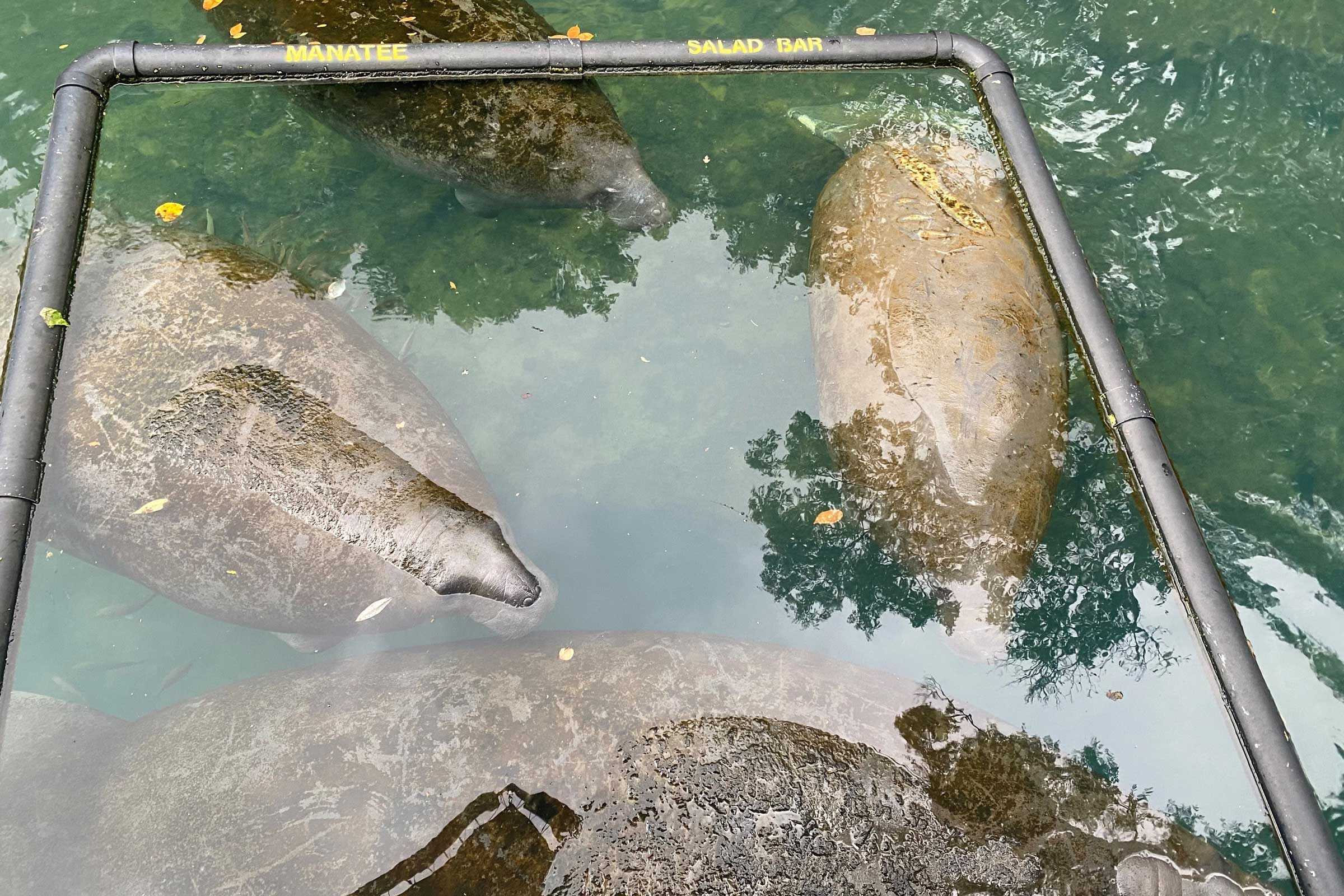
Homosassa Springs and the area where the Southeast Fork joins, locally known as Blue Waters, serves as an important Florida manatee warm water refuge. Several captive manatees are kept in the spring pool/run for rehabilitation and education during the summer.
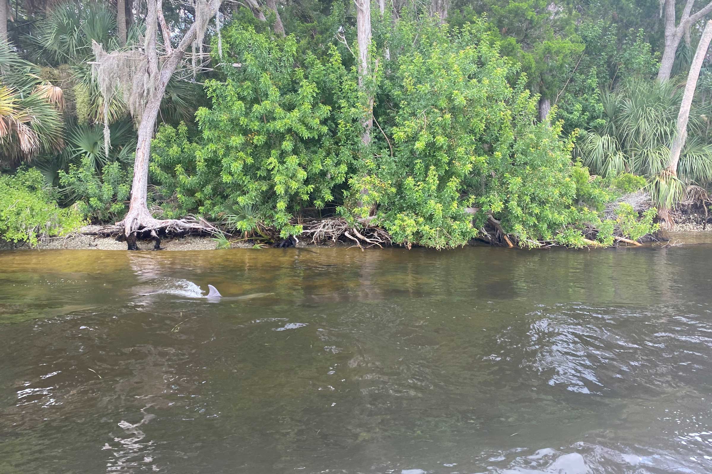
About one mile downstream of the main spring, the Homosassa River is joined by the Halls River, which is a spring-fed tidal creek that extends about three miles northeast. Following the junction of the Halls River, the Homosassa River widens and transitions from a fresh, clear water spring to a tannin-colored, brackish river.
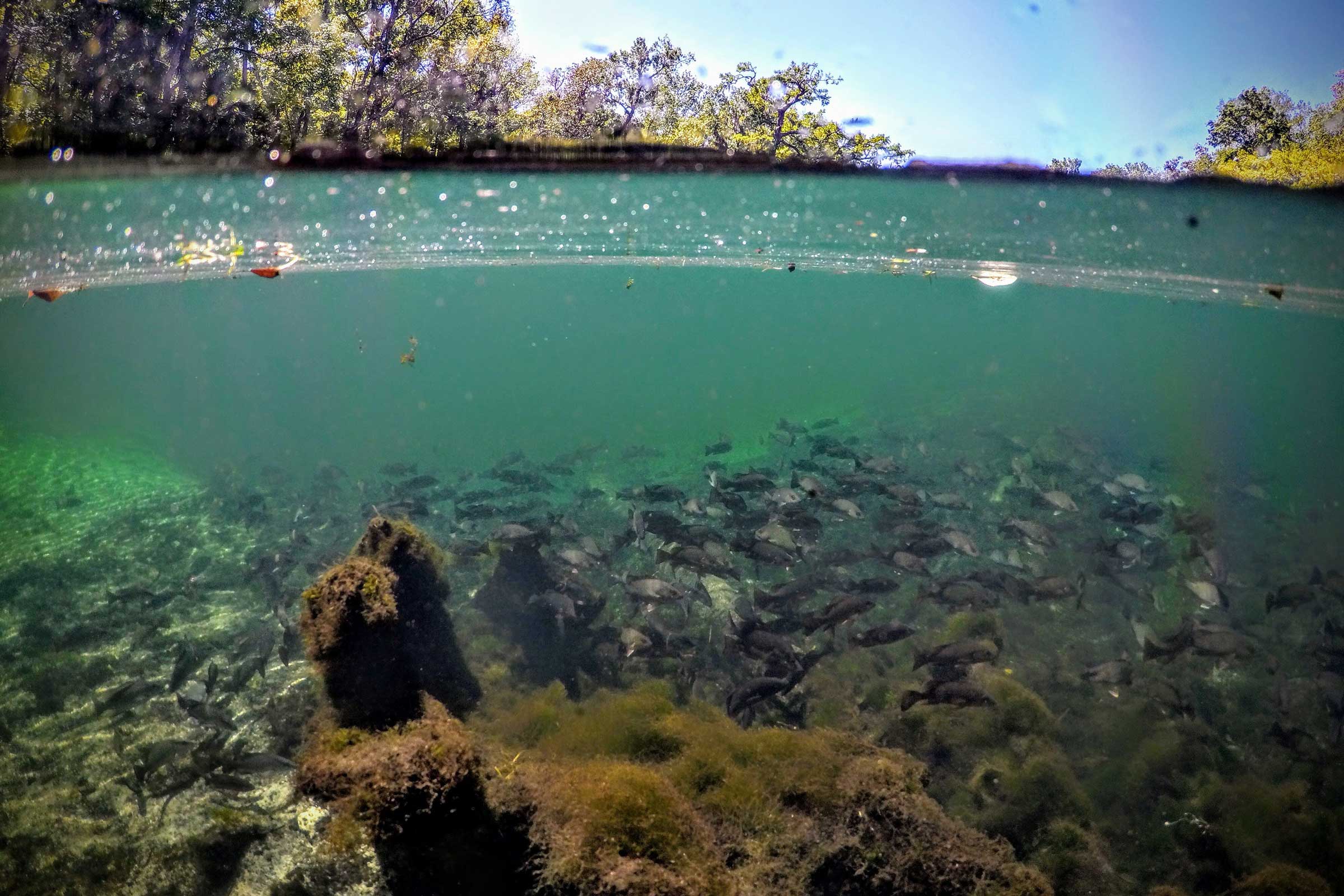
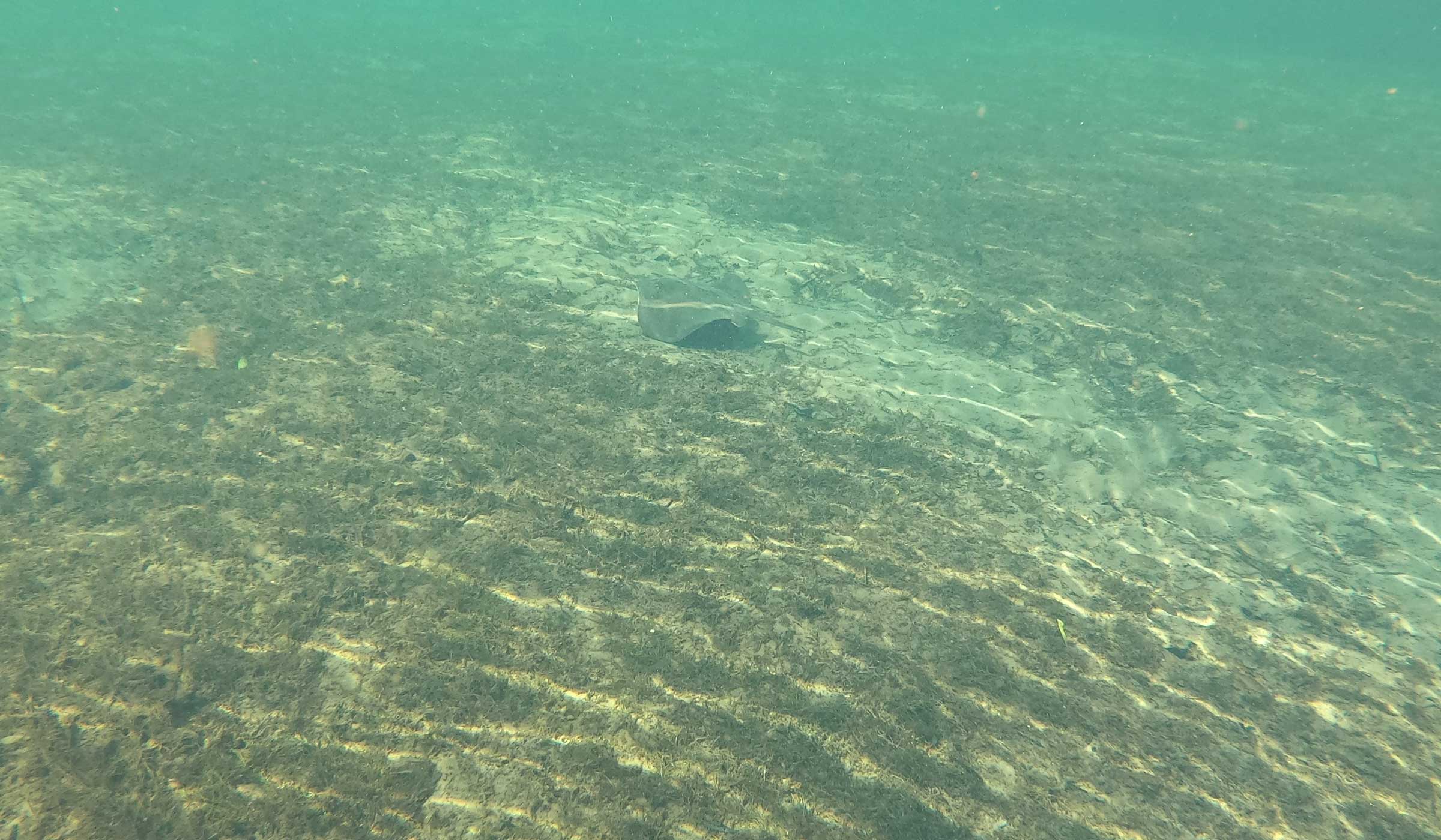
The river is home to both freshwater and saltwater species of animals due to the influence of the Gulf of America. For example, freshwater fish are more commonly found during the summer months and saltwater fish are more common in the winter. Visitors can spot fish, manatees, dolphins and stingrays swimming in the river.
Gallery
Click on any of the thumbnails to view the gallery slideshow.