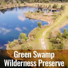
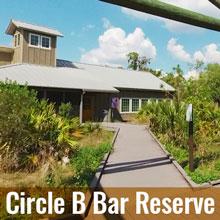
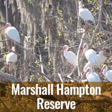
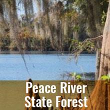
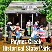
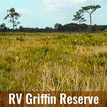
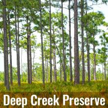
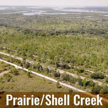
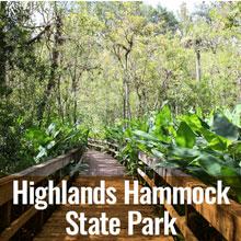
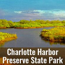
Conservation Lands
The region’s lands and waters are forever linked by Florida’s natural water cycles. Undeveloped land allows for water recharge to the aquifer and water storage during major storm events. Lands surrounding lakes, rivers, wetlands and estuaries also serve as natural buffers to filter out pollution before it reaches the nearest water body. The Southwest Florida Water Management District and other agencies and governments purchase conservation lands to preserve and restore native ecosystems. There are many public lands throughout the Peace River Watershed where you can experience first-hand the ecology of the region. So, hurry out for an exploration of your own! Here are just some of the conservation lands in the watershed for you to visit:
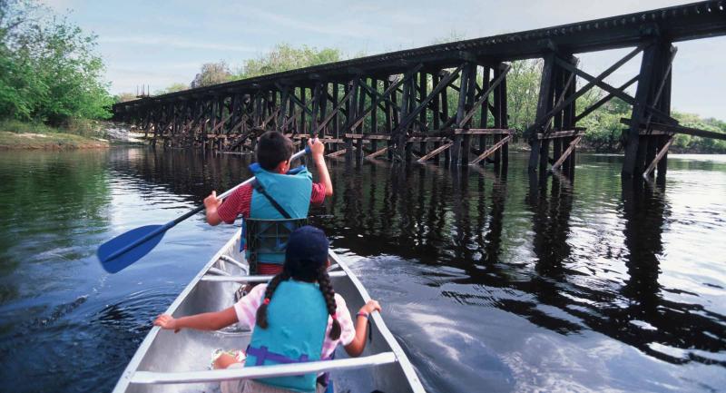
Paddling
As any paddler knows, time on a river is time well spent. The 67-mile Peace River Canoe Trail begins at Fort Meade and ends at State Road 70, just west of Arcadia. With many public access points, it’s easily accessible and great for beginners. Just note, paddlers may have to drag their kayak or canoe in parts of the northern portion of the trail when water levels are low.
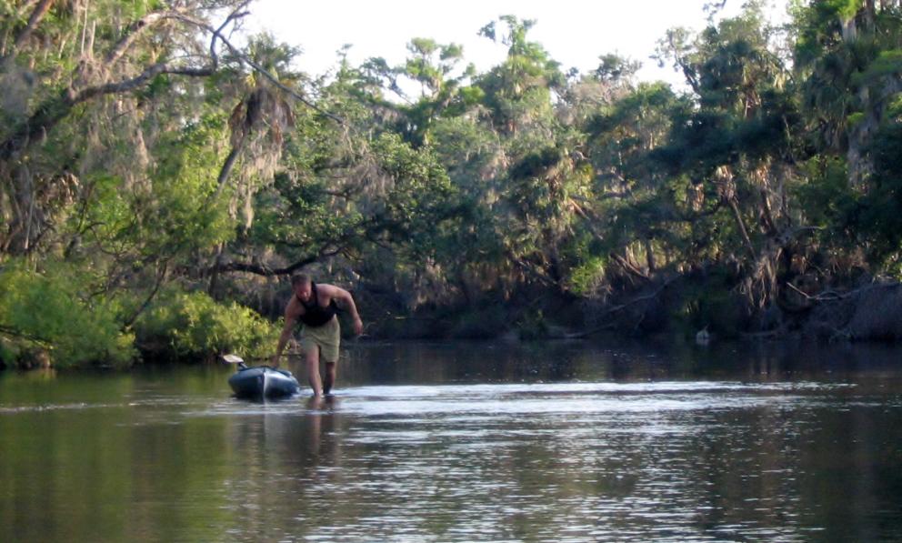
Learn more about this Florida Designated Paddling Trail through the Florida Park Service.
Thank you for traveling down the Peace River and its watershed, learning about the past and present, and what makes it worth protecting for generations to come. Explore more watersheds »