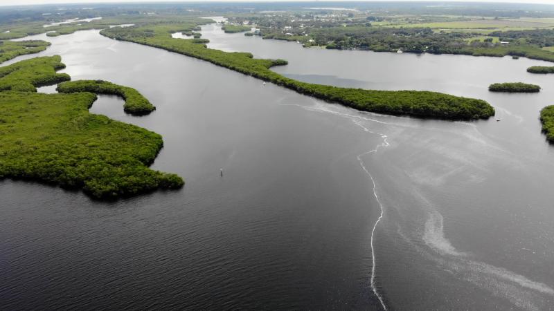
Peace River Challenges and Restoration
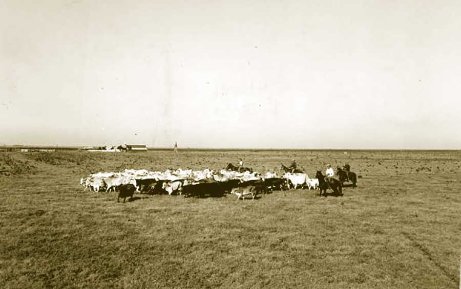
Natural factors, such as the geology of the region and rainfall, contribute to the amount of water recharging the Upper Floridan aquifer and surface water bodies in the area as do human influences, such as groundwater use. There have also been substantial changes to the Peace River watershed over the past 150-200 years, including the clearing, draining and re-contouring of lands for phosphate mining, agriculture and urban development. Groundwater use in the upper part of the watershed has contributed to loss of flow in the upper river between Bartow and Ft. Meade. These conditions also impact ecosystems, lake levels and the rate of saltwater intrusion along the coast.
Included in the Florida Statutes, a Water Use Caution Area is a designation given to areas where water supplies are or will become critical in the next 20 years. In 1992, the Southwest Florida Water Management District (District) designated the Southern Water Use Caution Area (SWUCA), which includes all of the Peace River watershed.
The District developed a recovery strategy for the SWUCA to restore lake levels and flows in the upper Peace River, reduce the rate of saltwater intrusion in the Upper Floridan aquifer, and ensure sufficient freshwater supplies to support the water needs of the environment and the public.
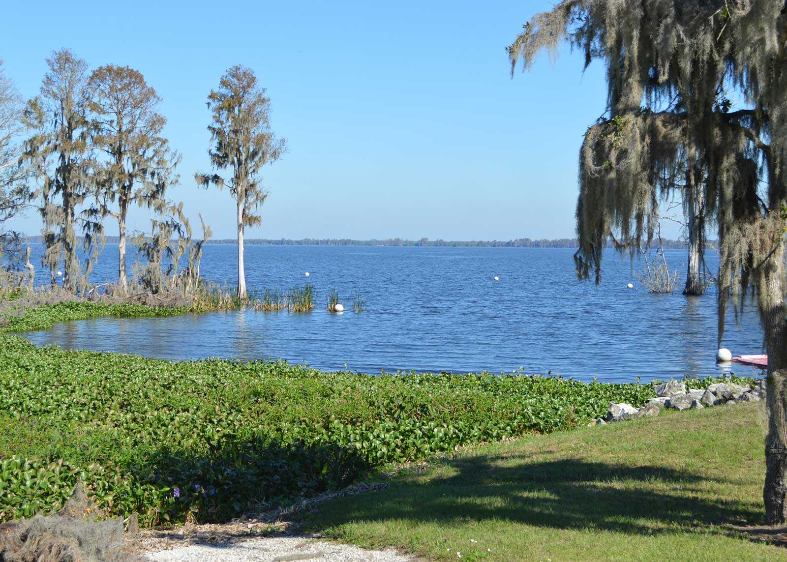
Lake Hancock is the largest freshwater lake in the Peace River watershed. It’s approximately 4,500 acres and located upstream of the start of the Peace River. The upper Peace River has been particularly impacted by alterations in the watershed and has even stopped flowing at times during the dry season.
The following projects implemented and managed by the District were critical to help restore the upper Peace River:
- Lake Hancock Lake Level Modification Project – This project stores water in Lake Hancock to be slowly released during the dry season into the upper Peace River so the river does not go dry.
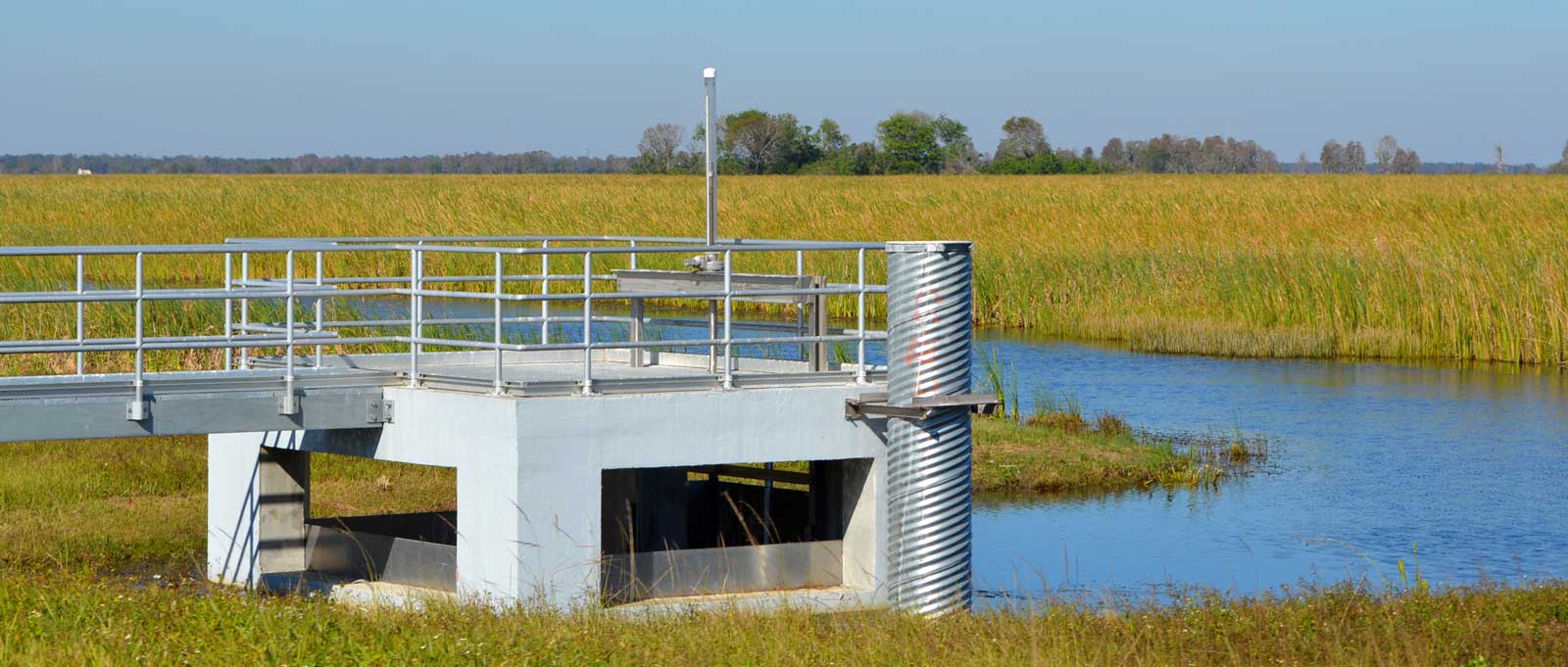
- Lake Hancock Outfall Treatment Project – This project improves water quality discharging from Lake Hancock and throughout the entire Peace River and Charlotte Harbor.
The Peace River and its watershed offers a range of recreational activities. Find out more next.