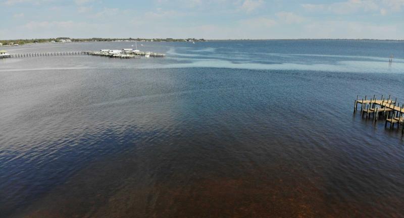
Fresh water from the Peace River watershed is essential to the health of the Charlotte Harbor, the second largest estuary in Florida. The watersheds of the Myakka and Caloosahatchee rivers also feed into the harbor.
An estuary is a partially enclosed body of water where fresh water from rivers and streams flows into the ocean. The Charlotte Harbor estuary is 30 miles long by seven miles wide and boasts 219 miles of shoreline.
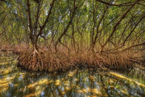
The estuary is a mosaic of habitats: salt marshes, beaches, open bay, seagrass meadows, tidal creeks, mudflats, salt barrens and mangrove forests. Each habitat supports an incredible assortment of organisms, many of which are rare and endangered, including manatees, bald eagles, peregrine falcons, wood storks, roseate spoonbills, American crocodiles, Florida black bears, Sherman’s fox squirrels, Florida scrub-jays and four species of sea turtle.
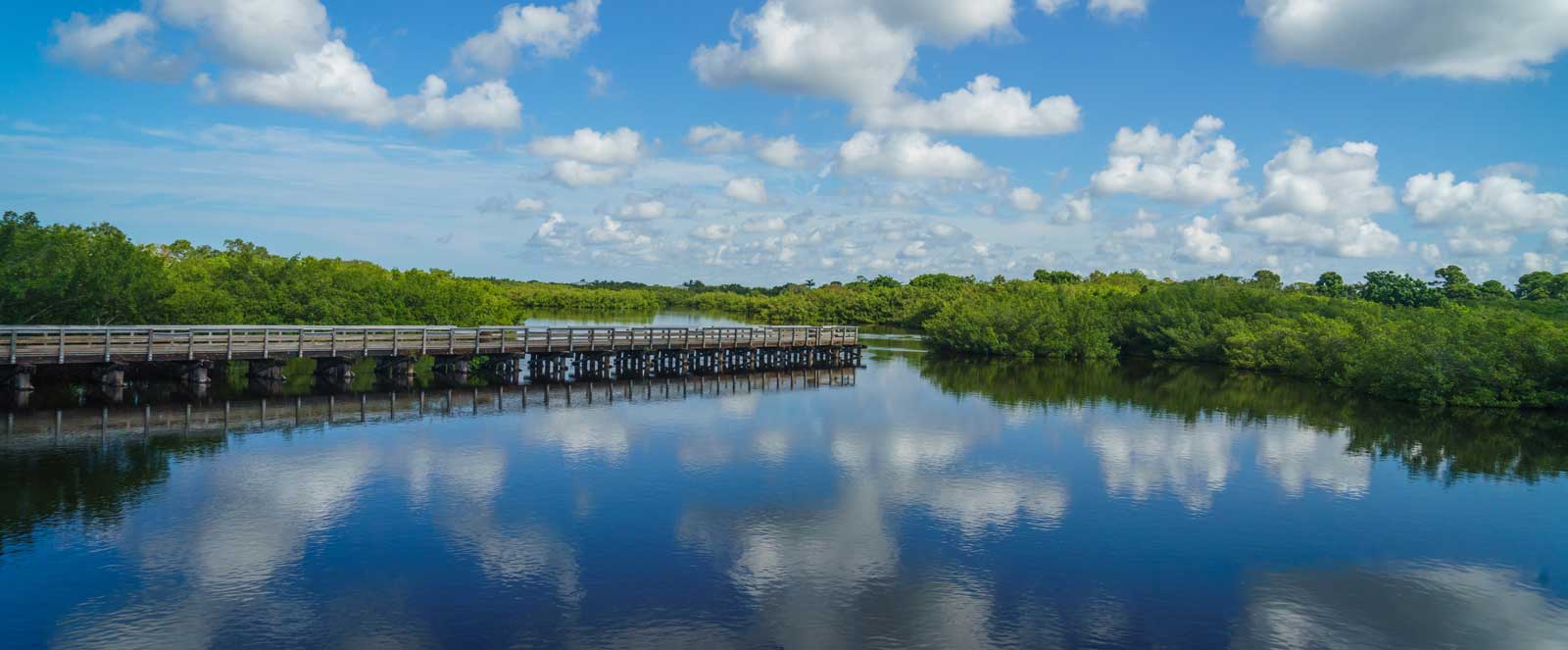
The estuary is also where you’ll find the Charlotte Harbor Preserve State Park, a patchwork collection of undeveloped properties comprising more than 45,000 acres and protecting more than 100 miles of shoreline. The preserve surrounds or borders many of the harbor’s most sensitive and valuable natural areas, including Cape Haze, Gasparilla Sound-Charlotte Harbor, Matlacha Pass and Pine Island Sound. All are classified as Outstanding Florida Waterways and aquatic preserves.
The Coastal & Heartland National Estuary Partnership is one of four such programs in the state and was created to protect the estuary’s water quality and ecological integrity.
Additionally, the Peace River watershed’s history is rather interesting. Let’s go back in time.