The Tampa Bay Planning Region encompasses approximately 2,120 square miles, covering all of Hillsborough, Pasco and Pinellas counties. It is the most urbanized area in the Southwest Florida Water Management District, although land-use types range from urban/built-up areas such as the cities of Tampa and St. Petersburg to predominantly agricultural land uses in the inland portions of Hillsborough and Pasco counties and phosphate mining in southeastern Hillsborough County.
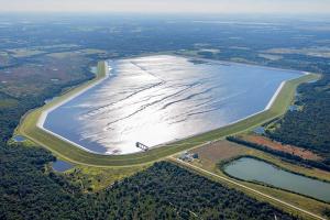
Tampa Bay is the major surface water feature in the planning region, but the region also contains six major rivers (Alafia, Anclote, Hillsborough, Little Manatee, Pithlachascotee and Withlacoochee), the Tampa Bypass Canal, over 150 named lakes, and several second-magnitude springs (Buckhorn, Crystal Springs group, Lithia, Sulphur and Wall).
Portions of the region are dominated by extensive hardwood swamps, wet prairies and isolated wetlands. Three principal aquifer systems (surficial, intermediate and Upper Floridan) are present in the planning region and are used as water supply sources. The 2015–2035 increase in water demand in the Tampa Bay Planning Region will be met by unused groundwater quantities that have been permitted to utilities and by a combination of projects that will: 1) develop additional surface water from the Hillsborough River/Tampa Bypass Canal system and the Alafia River, 2) provide reclaimed water in the region, 3) reduce water use through non-agricultural water conservation, and 4) develop brackish water from the Upper Floridan aquifer.