To improve accuracy, the Southwest Florida Water Management District (District) has upgraded the datum used to record water level elevation.
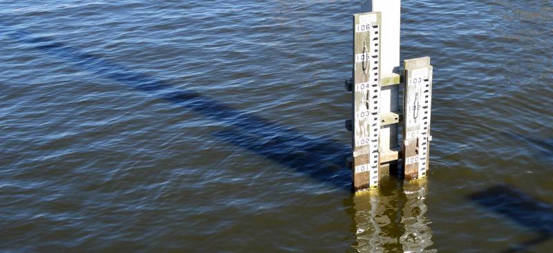
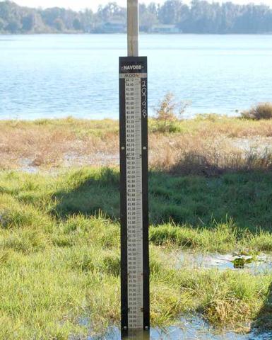
The District has upgraded the datum, or starting point, used to record water level elevation at its data collection sites. Water elevation is measured in feet above mean sea level.
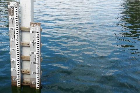
The datum was upgraded from the National Geodetic Vertical Datum of 1929 (NGVD 29) to the North American Vertical Datum of 1988 (NAVD 88). The NAVD 88 datum was created due to advancements in technology to more accurately reflect the elevation of a specific point relative to other points. For example, this upgrade allows District staff to compare different water bodies with greater accuracy.
Datum “Shift” Explanation
Within the boundaries of the District, the NAVD 88 elevation number is a shift of approximately 0.7 to 1.1 feet lower than the elevation in the NGVD 29 standard. This variation is due to geographical differences. For example, a water level for Lake Panasoffkee of 39.24 feet in NGVD 29 will be 38.36 in the NAVD 88 standard. The difference of -0.88 feet, is referred to as the “shift” between datums. Only the numerical value for the elevation changes; the depth of the lake remains the same.
For the exact measured shift of a specific District data collection site, email Data.Maps@WaterMatters.org. In addition, the National Geodetic Survey (NGS) has created a tool to help people estimate the “shift” between the two datums for a specific latitude and longitude.
Process and Timeline
All historic and future water level data is published in both datum standards (NAVD 88 and NGVD 29) and made available through the District’s Environmental Data Portal (EDP). The datum change, which involved a surveyed recalibration of active District water-level data collection sites to the NAVD 88 standard, has been completed.
Agencies Using NAVD 88
All federal agencies, including the Federal Emergency Management Agency, are required to use NAVD 88. Both the South Florida and St. Johns River water management districts also have migrated to NAVD 88. Many cities and counties such as Hillsborough County are upgrading to the NAVD 88 standard as well.