How do I know if the structure on the waterbody I live near is open or closed?
The District has a water control structure dashboard the public can view. Gate status and water levels are updated hourly for each water control structure location.
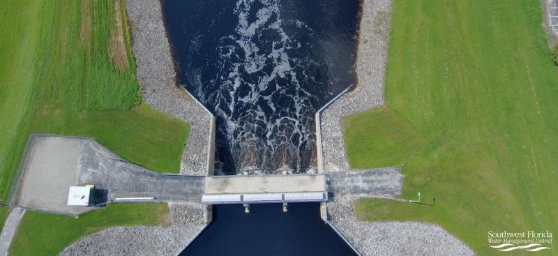
Do all District structures provide flood protection?
No, most of the District structures were constructed to hold water back during dry times and allow water to flow naturally during wet times to help manage lake water levels. A few coastal structures help slow down saltwater storm surge from entering freshwater lakes and streams. Only 17 of the 84 structures the District operates were designed and constructed for flood control, most of those being associated with the US Army Corps of Engineers’ Four River Basins (FRB) Project. The FRB project was a $57 million flood control project started in the 1960s that encompassed a 6,000-square-mile area and authorized the construction of canals, flood control structures and water detention areas to provide flood protection for the region. The District’s structures are operated in a manner to assist with flood protection to the best of their capability, based on the hydrologic conditions for the area.
What is a flood control structure?
Flood control structures are water control structures that were designed and constructed to reduce flood impact on the local area. Flood control structures and their corresponding conveyances, typically man-made canals, are capable of handling large capacities of flood waters for a sustained period.
What actions does the District take during an active storm threat?
If a storm is eminent, the District evaluates water elevations for the water bodies associated with each water control structure. It then relies on rain forecasting from the National Weather Service and river flood forecasting from the Southeast River Forecast Center to help determine what structure operations are needed based on the forecast predictions. When needed, the District tries to lower water levels consistent with operating guidelines and best practice for each structure, which helps create more capacity to store flood waters.
How are the structures operated?
More than half of the water control structures can be operated remotely, which means they can be operated with a computer at any time. This allows the District to respond quickly to changes in water levels for those structures that have remote control. The others are manually operated, which requires staff to physically operate the structure. The corresponding water levels for each structure are monitored round-the-clock even during nights, weekends and holidays.