
How does the District help prevent flooding?
As of December 2024, the District has invested more than $379 million benefiting flood protection initiatives since 2011. The District takes a structural and non-structural approach to flood protection.
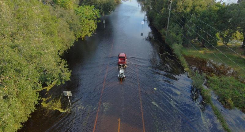
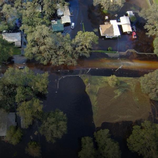
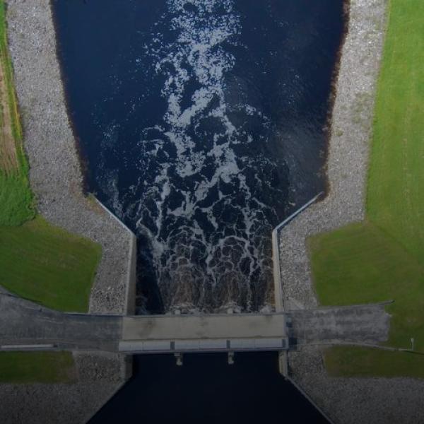
Water Control Structures: The District’s water control infrastructure encompasses 84 water control structures, 63 miles of canals, eight miles of dams, two reservoirs and 171 secondary drainage systems. The structures help manage water in 45 lakes and portions of three rivers throughout the District. Depending on the location, the structures provide flood protection, conserve water going into the dry season, manage water levels under normal conditions and prevent saltwater from entering freshwater lakes and streams.
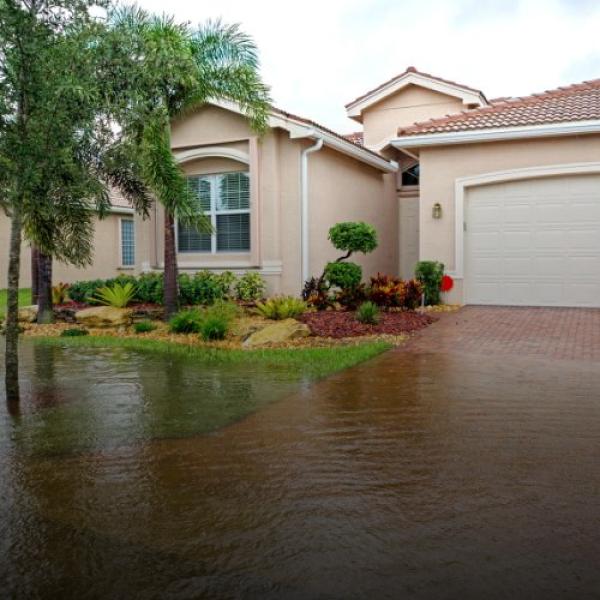
Regulation: The Environmental Resource Permitting Program requires permittees to demonstrate that new development will not result in flooding or adverse impacts to receiving waters and adjacent lands.
Watershed Management Program (WMP): The District’s WMP identifies, prioritizes and addresses flood-related water resource issues within a watershed. Information developed through the WMP is used by local governments, the District, and state and federal governments in regulatory and advisory floodplain management programs to help residents make informed decisions about their flooding risks. Visit the District’s website to learn more about the WMP program.
Stormwater Improvement: The District has historically provided funding to local governments for stormwater projects through the Cooperative Funding Initiative with the overall goal of reducing the peak, extent and duration of flooding for regional projects.
Hydrologic monitoring: Monitoring rainfall and surface water levels and flow provides needed information to 1) identify areas prone to flooding due to high water-level conditions, 2) model potential flooding impacts based on historical data, 3) assist in effectively operating water control structures to help prevent or lessen flooding, and 4) document hydrologic conditions before, during and after events. The District monitors surface water levels at nearly 800 surface water stations and funds monitoring by the United States Geological Survey at more than 130 additional surface water stations. The District has about 170 active rainfall gauges and collects nearly 6 million rainfall measurements every year. Districtwide gauge rainfall data is supplemented with RADAR rainfall data. Rainfall totals (daily, monthly, year-to-date, and prior 12 months) for the region can be accessed from the District’s Daily Hydrologic Data webpage.