Does the District forecast river flooding?
The District does not forecast river flooding. We refer to the Southeast River Forecast Center, an agency of the National Weather Service. The public can use their interactive map to view forecast locations experiencing flooding and links to detailed forecast information. The National Weather Service also establishes flood stage categories and thresholds.
While local news sources share alerts from the National Weather Service, you can also follow the National Weather Service office closest to you online or on social media by visiting their website. Additionally, some local governments provide emergency alerts for things like flood warnings.
Weather radios can be an important part of your family’s storm preparedness kit as they allow you to receive information even if the power is out or cell service is restricted. The National Oceanic and Atmospheric Association (NOAA) offers the NOAA Weather Radio All Hazards (NWR). It is a nationwide network of radio stations broadcasting continuous weather information directly from the nearest National Weather Service office. NWR broadcasts official Weather Service warnings, watches, forecasts and other hazard information 24 hours a day, seven days a week. Learn more about NWR and NOAA warning disseminations on their website.
Why does inland flooding occur so long after a storm hits?
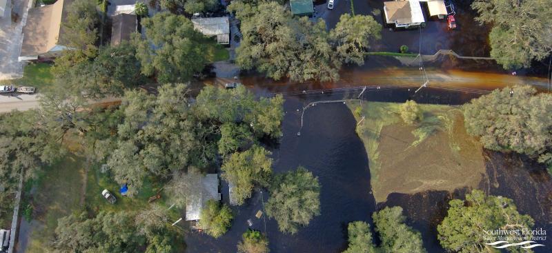
Water flows across land and through waterbodies as it moves toward a common body of water, such as a stream, river, lake or coast. When those bodies of water have already reached capacity, there’s nowhere for the water to go except to flood the land, which can continue for days and weeks following a storm event as more water makes its way across the land and toward the body of water.
How fast will a river go down after cresting?
A "crest" is the level at which a river peaks before it goes down. Rivers typically fall slower than they rise, and various factors such as rainfall, groundwater levels, wind and temperatures impact the rate of fall. If more rain is received, a river could rise and crest again. The public may monitor river rate of fall predictions on the Southeast River Forecast Center website to better gauge when a river may return to normal.
Why does flooding continue after a river crests?
As a river rises out of its banks, the water pushes laterally to flood adjacent lands. As those floodwaters seek to level out, many areas farther from the river may continue to rise and flood, even though the river has crested nearby. After river levels crest, it may take weeks or months before those floodwaters totally recede.
How do floodwaters get trapped in low-lying areas and what can be done about it?
It’s possible for some flooding to linger for weeks or months in what’s called a closed basin, or an area that does not have an outlet for water to flow. Rainfall usually soaks into the ground, but if the ground is saturated from excess rain, the water moves over land toward low-lying areas such as rivers, lakes, ponds and depressions. Evaporation has to occur for water levels to recede in basins with no outlet. Sometimes local governments pump out water from low-lying areas to help alleviate flooding. The water pumped out must be released in a location that will not cause flooding in other areas.
What is a floodplain?
A floodplain is an area of land susceptible to being inundated by floodwaters from any source. They are typically found near rivers, lakes, coasts and depressions. They function to provide temporary natural storage for water runoff, serve as recharge areas for the aquifer and offer important natural habitats for animals and plants.
How do I know if I live in a floodplain?
You can find out if you live in a designated floodplain by viewing the Federal Emergency Management Agency’s (FEMA) Flood Insurance Rate Maps at the FEMA Map Service Center. Search by street address; or, you can view flood risk information using FEMA’s map viewer.
A flood map is a risk assessment tool used to help determine the different flooding risks in a community. The District partners with FEMA and local governments helping to develop flood insurance rate maps. The District also offers an interactive floodplain map viewer that allows you to view flood risk information as an advisory tool for flood hazard awareness.
What does a 100-year flood event mean?
A “100-year flood” event describes the probability of that flood event occurring in any given year, which is 1% for a 100-year flood or 0.2% for a 500-year flood. It does not mean the probability of the flood happening is once every 100 or 500 years.