The Peace River begins in northern Polk County at the junction of Saddle Creek and the Peace Creek Drainage Canal northeast of the city of Bartow. From there, it runs approximately 105 miles south to the Charlotte Harbor estuary, where it blends with the outflows of the Caloosahatchee and the Myakka rivers.
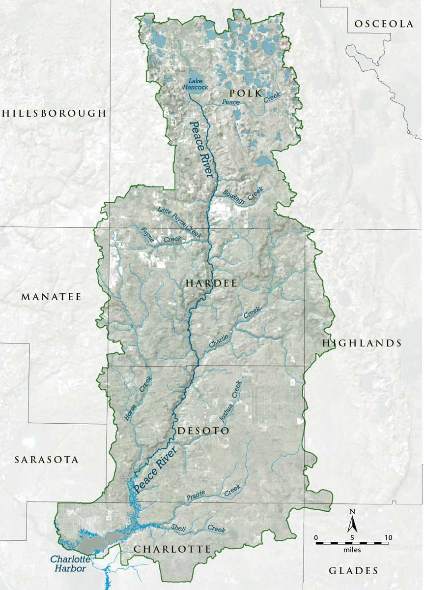
Its watershed encompasses more than 2,300 square miles and is called the Peace River Valley by locals. A watershed is an area of land that water flows across as it moves toward a common body of water, such as a stream, river, lake or coast.
The Peace River watershed extends north into the Green Swamp, an area of ecological and hydrological importance, and south to the city of Cape Coral in Lee County. Its western boundary includes portions of Hillsborough, Manatee and Sarasota counties and portions of Highlands and Glades counties on the east. The watershed includes major portions of Polk, Hardee, DeSoto and Charlotte counties.
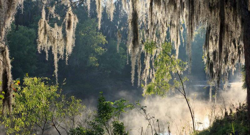
The watershed is low and flat, peppered with shallow lakes and wetlands, and partially flooded by summer rains.
Next up, learn how those summer rains fill the Peace River and more about its hydrology.