Project Overview
An ecologically-based study was completed to evaluate how recreational use affects natural systems along the Weeki Wachee River in Hernando County, Florida. The study, known as a carrying capacity study, is intended to provide information to assist in making decisions that will better manage impacts of recreational use on this natural system.
Background
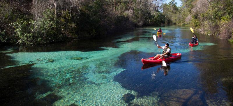
The beauty of the river makes it a popular site for recreational activities. There are concerns about whether increased recreational use is affecting the ecology of the river. The study does not set a specific limit to recreation or address public safety but provides the science to governing agencies with the authority to make future management decisions. The project was included in the Weeki Wachee River Surface Water Improvement and Management (SWIM) Plan, which was developed based on input from a wide range of stakeholders who care about the river.
Project Partners
The project was co-funded by Hernando County and the Southwest Florida Water Management District with in-kind support from the Florida Department of Environmental Protection.
Project Details
The study was conducted by a third-party consultant who provided unbiased, scientific findings. To account for differences along the river, the Weeki Wachee Springs State Park, meandering middle reaches and tidally-influenced lower river were evaluated separately.
To assess water quality, scientists collected water samples. In-person tests were done monthly May-September and bi-monthly October-April and during at least two holiday weekends in the summer. In addition, four data collection devices were installed along the river to record water quality data continuously.
Recreational use was captured by time-lapse cameras at sites along the river. In addition, recreational use by user type was captured monthly May-September and bi-monthly October-April in one-hour increments for eight hours. Direct impacts to the natural system, such as prop scars and uprooting of vegetation or unnatural movement of sand, were documented along with activities like docking, wading and trampling that may affect the river.
Additional data collected includes:
- Random surveys of people exiting the river asking questions such as time spent on the river, types of activities, number of stops, etc.
- User counts from commercial recreational providers, which will be compared to the consultant’s observed user counts.
- Damage from rope swing activity.
- Types and quantities of wildlife present through time-lapse camera footage.
Based on the results of the study, there is a range of potential management opportunities for decision makers to consider.
Project Timeline
- Data-collection process began in May 2018 and continued through August 2019
- Public workshop was held November 2018
- Draft report was completed November 2019
- Final report was completed February 2020
- Public workshop was held February 2020