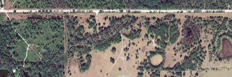
High-resolution imagery is most often 1-foot resolution and covers 5000 feet x 5000 feet on the ground. Occasionally imagery at 1/2-foot or 2-foot resolution is collected. Most counties are flown once every three years as part of a statewide cycle, with the flying season usually running from November through March. This imagery is in State Plane projection and MrSid file format.
In 2016, an updated datum (NAD83_2011), was used for aerials for some counties. In these counties, the .sid files are delivered as they came from the vendor. We cannot recreate lower generation .sid files for these images. In the past, some GIS and CAD systems cannot use higher version sids. Check the image inventory to identify the counties using the updated datum.
Purchase or Download 2006-2016 Imagery Now »
DOQQ Historical Downloads
A digital orthophoto quarter-quadrangle (DOQQ) is a digital image of an aerial photograph that has been ortho-rectified. DOQQs are 1-meter resolution and covers an area on the ground of 3.75-minutes longitude by 3.75-minutes latitude.

2004
| Image | Units | Color | Format |
|---|---|---|---|
| 2004 RGB UTM | MT | RGB | JPEG 2000 |
| 2004 RGB UTM | MT | RGB | MrSID |
| 2004 RGB State Plane | FT | RGB | JPEG 2000 |
| 2004 RGB State Plane | FT | RGB | MrSID |
| 2004 RGB Albers | MT | RGB | JPEG 2000 |
| 2004 RGB Albers | MT | RGB | JPG |
| 2004 RGB Albers | MT | RGB | MrSID |
| 2004 CIR UTM | MT | Color Infrared | JPEG 2000 |
| 2004 CIR Albers | MT | Color Infrared | JPEG 2000 |
| 2004 CIR State Plane | FT | Color Infrared | JPEG 2000 |
1999
| Image | Units | Color | Format |
|---|---|---|---|
| 1999 CIR UTM | MT | Color Infrared | MrSID |
| 1999 CIR Albers | MT | Color Infrared | JPG |
| 1999 CIR State Plane | FT | Color Infrared | MrSID |
1995
| Image | Units | Color | Format |
|---|---|---|---|
| 1995 CIR Albers | MT | Color Infrared | MrSID |
| 1995 CIR Albers | MT | Color Infrared | JPG |