The Southwest Florida Water Management District (District) hosted a virtual public outreach and presented preliminary flood prone area information for the Nichols Pond watershed. The District gathered comments and will investigate any issues identified by the public.
This watershed study is a District initiative and is funded by the District. Flood prone area information will be used by local governments and the District for floodplain management once finalized. This information is not currently being incorporated into the Federal Emergency Management Agency (FEMA) Digital Flood Insurance Rate Maps (DFIRMs); however, it may be used in future DFIRM updates.
Maps
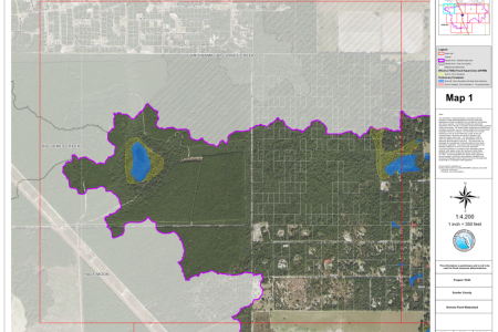
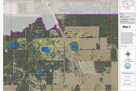
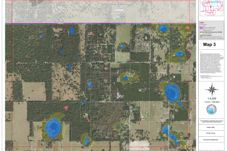
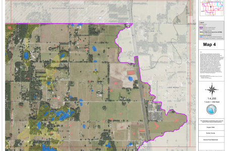
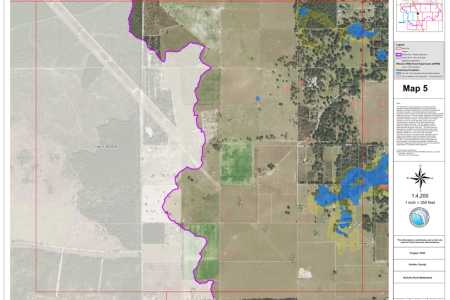
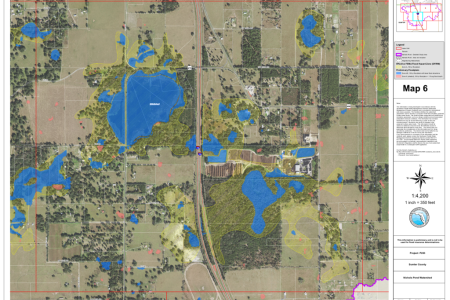
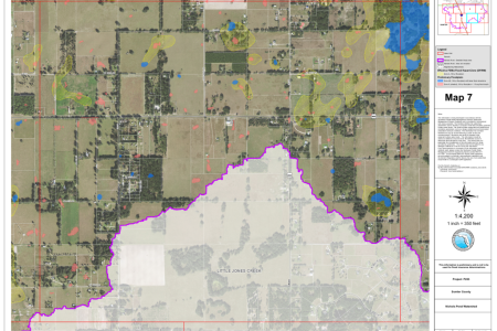
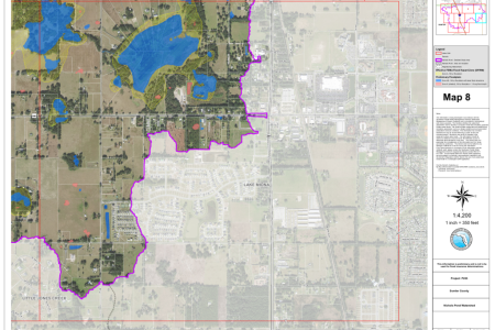
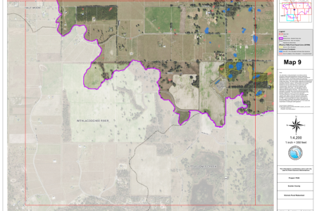
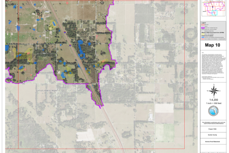
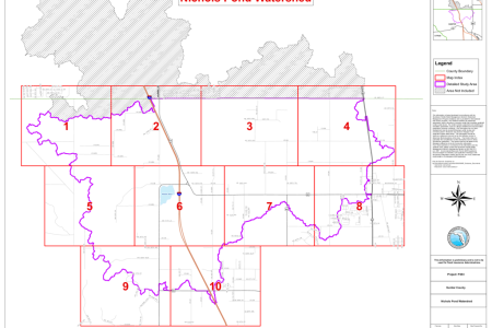
The floodplain maps [provided below] show both the preliminary floodplain information from this study and the current effective FEMA flood zones. Use the index map to help determine which map number your property is located within, then open the corresponding map number to view the floodplain information. The following color symbols are used on the maps to distinguish between the preliminary floodplain information and the current effective FEMA information.
Preliminary Floodplains:
- Blue areas represent the 100-year flood, with base flood elevations determined [Zone AE].
- Red areas represent floodplain with < 1 ft. avg flood depth [Zone X (shaded)].
Current Effective FEMA:
- Yellow hatched areas represent the 100-year flood [Zone A].
The 1% annual chance flood (100-year flood), also known as the base flood, is the flood that has a 1% chance of being equaled or exceeded in any given year. Unshaded areas are determined to be outside the 0.2% annual chance floodplain (500-year flood).
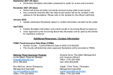
Please refer to the Read Me document [provided below] for more information about the floodplain model, the projected timeline for model approval, contact information and a list of Frequently Asked Questions (FAQs).
You can also visit the interactive map viewer to search for your address and view the floodplain information.

