Some Areas Show Significant Gains
Scientists with the Southwest Florida Water Management District (District) completed the latest round of seagrass mapping along Florida’s Springs Coast. The results of the aerial imagery collected show 586,511 acres of mapped seagrass habitat along the Springs Coast, up slightly from the previous total of 577,920 acres in 2016. The open water nature of the area and the largely undeveloped and expansive coastal wetlands contribute to the region’s stable seagrass habitats.
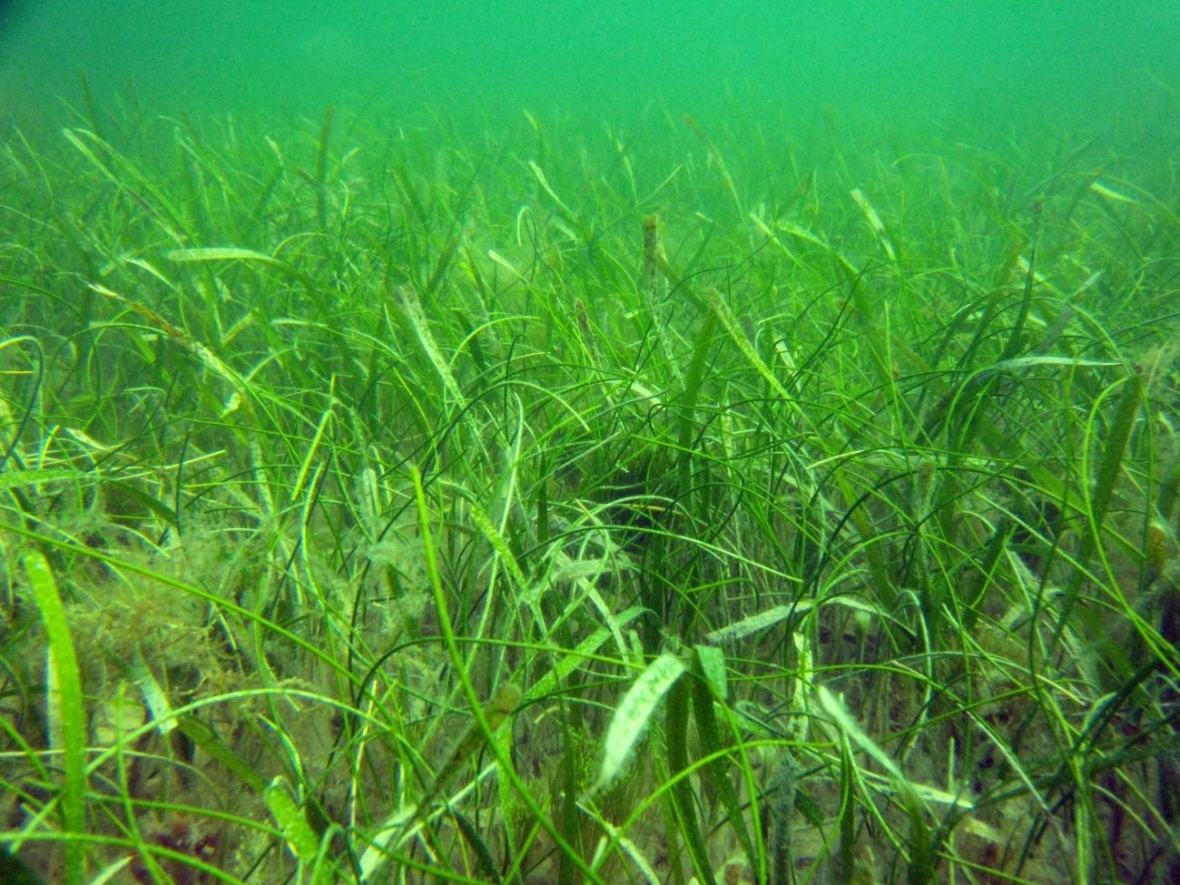
This Springs Coast region represents one of the largest and most diverse seagrass ecosystems in the country and the District is committed to monitoring the long-term health of these habitats.
To better understand trends in seagrass habitat, the District further subdivided this region into 16 segments. While the region as a whole saw little change in seagrass acreage, several smaller segments experienced significant gains:
- The Anclote Offshore segment saw the greatest increase (25.7%) from 5,156 acres in 2016 to 6,483 acres in 2020.
- Waccasassa Bay east of Cedar Key also saw significant gains in seagrass (17.1%) from 10,934 acres in 2016 to 12,807 acres in 2020.
- The Crystal Bay Inshore segment saw an increase in seagrass (8.4%) from 25,115 acres in 2016 to 27,223 acres in 2020.
Some segments saw a slight loss in seagrass. Just off the Chassahowitzka River there was a 3.1% decline from 30,086 acres in 2016 to 29,163 acres in 2020.
Along the Springs Coast, seagrasses are often mixed with other organisms like sponges, corals and attached algae. Among the many ecological and economic benefits of these undersea habitats, approximately 70% of the recreationally and commercially important species of fish, crabs, and shrimp in the Gulf of Mexico spend at least a portion of their lives in seagrass meadows. Seagrasses are also a major food source for manatees and sea turtles.
While seagrasses help maintain good water quality, they are also sensitive to increased nutrient pollution and other stressors like red tide and hurricanes. For this reason, the District maps seagrass habitat every four years to “take the pulse” of the Springs Coast estuaries. The results are used to track trends in seagrass and to evaluate ongoing water quality improvement efforts.
Seagrass maps are created by professional photo interpreters using aerial imagery collected specifically for the purpose of mapping seagrasses. Images are collected using state-of-the-art digital cameras mounted on specially outfitted aircraft. Every image must go through a rigorous quality control process before being released to the photo interpreters. Additionally, qualified field crews visit more than a thousand ground truth and accuracy assessment points to ensure the highest quality map product.