River Model Scenarios
Nineteen scenarios have been identified through years of meetings and workshops with external stakeholders, special interest groups and residents. These scenarios are being tested by the model to show how historical alterations have affected the river and watershed. They include:
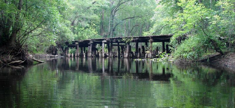
- Five scenarios in the Green Swamp related to berms, ditches, bridge pilings and historical rock formations
- Six scenarios in the Tsala Apopka Chain-of-Lakes related to flooding, low water levels, structure operations and pre-settlement conditions
- Two scenarios in the Lake Rousseau area related to conveyance of water through the Bypass Spillway to the lower Withlacoochee River
- Six scenarios at various locations along the river related to flooding, low water levels and structure operations
Download Scenarios Report »
You can also view specific scenarios by clicking on the links below. For a quick summary of scenario results, click here to view the scenario posters.