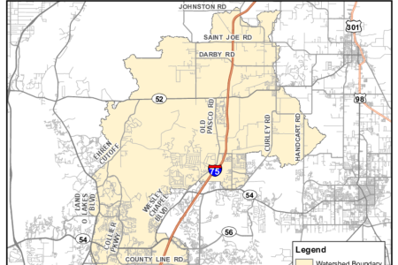
Pasco County and the Southwest Florida Water Management District (SWFWMD) are developing a watershed model and associated Watershed Management Plan for the Cypress Creek watershed.
Once approved, the model results will be used by the City, County and the SWFWMD in their respective permitting programs. The model results may also be used to update FEMA Flood Insurance Rate Maps (FIRMs) to help communities manage floodplains and flood risk and provide information to assist homeowners in making decisions about protecting their property and planning for emergencies.
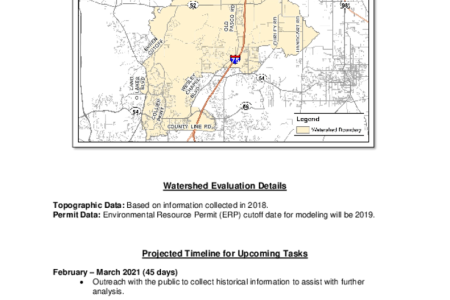
Please refer to the Read Me document (provided below) for more information about the watershed study and the projected timeline, contact information and a list of Frequently Asked Questions (FAQs).
Note: This is an update to the previous Cypress Creek watershed study that was completed and approved by the Governing Board on 4/27/2010.
You can view the floodplains from that completed study here: https://swfwmd.maps.arcgis.com/apps/webappviewer/index.html?id=4d2f44cf31e34098923e1b404cd00912&extent=-9200154.355,3267139.823,-9133690.889,3303811.147,3857
The full dataset from the previous study (CypressCreek_20110531_GB.zip) is available for download from the District's ShareFile site. https://watermatters.sharefile.com/share/view/s8c9019e00fd243908654e733a6b2016c/fo35a7e9-8f7a-4e5f-af61-2f8230591aef
Maps
The watershed map (provided below) shows the Cypress Creek watershed limits. Please refer to the Read Me document (provided below) for more information about the watershed study and the projected timeline, contact information and a list of Frequently Asked Questions (FAQs).


