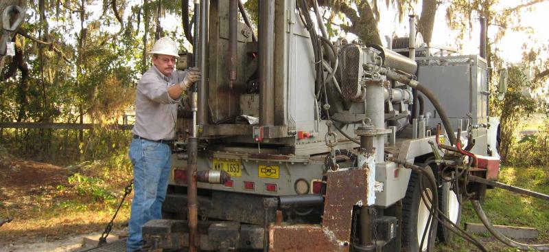
A Well Construction Permit is required prior to installation of a water well within the District. The permits ensure that wells are constructed by qualified contractors and meet rigid safety and durability standards.
The rules in Chapter 40D-3, F.A.C. govern the construction of water wells and water well contractor licensing, and implement the provisions of Part III of Chapter 373, Florida Statutes. These rules are adopted to ensure that all water wells within the District are located, constructed, maintained, used, and abandoned in a manner that protects the water resources.
Local agencies in Manatee, Sarasota, and Marion counties issue well construction permits within their respective county boundaries. If required, a Water Use Permit must first be obtained from the District before these agencies can issue a Well Construction Permit. Contact the Manatee Environmental Management Department, Sarasota County Health Department, or Marion County Health Department for more information.
Find a Well Contractor
To find licensed water well contractors in the District, please visit this page »
To find licensed water well contractors nationwide, please visit this page »
Publications Incorporated by Reference
Supplemental Information
- Water Well Contractors in the District (Renewed License 2025-2027)
- FDEP Water Well Contractor’s Clearinghouse
- Florida Water Well Contractors Continuing Education Program (12 CEUs are required for licensing)
- Hydrologic Framework of the SWFWMD (Bulletin 68, Florida Geological Survey)
- Regional Evaluation of the Hydrogeologic Framework, Hydraulic Properties, and Chemical Characteristics of the Intermediate Aquifer System Underlying Southern West-Central Florida, USGS, 2006
- NGWA Well Owner Website
- EPA: What to Do With Your Private Well After a Flood
Supplemental GIS Viewers
- GIS VIEWER: Access Map Gallery
- GIS VIEWER: Depth Below Land Surface to Contact Between Permeable Portion of Intermediate Aquifer System and Upper Floridian Aquifer
- GIS VIEWER: Reclaimed Water Lines and Facilities within SWFWMD
- GIS VIEWER: WCP Required Casing Depth for Dover Area
- GIS VIEWER: Geohydrologic Data Map Viewer
- GIS VIEWER: Aquifer Exploration, Well Construction and Testing
- GIS VIEWER: FDOH Environmental Health Water Well Surveillance
- GIS VIEWERS: FDEP Map Direct Gallery
- GIS VIEWER: City of Venice Utilities
Forms
Application For A Water Well Contractor's License
(LEG-R.003.03 (10/16/2018) 40D-3.037(5))