The word “resiliency” can be described as the ability to recover quickly from disasters and adapt to future conditions. The word also refers to building defenses against the impacts of climate change.
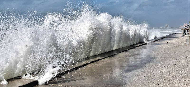
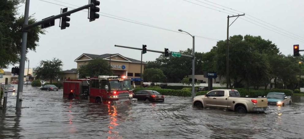
Coastal Florida is vulnerable to impacts from climate change, which may include temperature extremes, intensified storms, increased flooding and sea level rise. West-central Florida has already seen some of these adverse impacts, and projections show the impacts will increase in time. For example, the tide gauge in St. Petersburg has measured approximately 8 inches of sea level rise since 1946, and NOAA projects that 2 to 8.5 feet of rise may occur in the region by 2100.
Such adverse impacts pose economic, social, environmental, and public health and safety challenges to the state. As such, the Southwest Florida Water Management District (District) is embedding resiliency into all aspects of our mission to protect water resources, minimize flood risks and ensure the public’s water needs are met.
In brief, the District incorporates resiliency into regulation, water resource planning and monitoring; land acquisition, restoration and maintenance; and the operation and maintenance of our water control structures.
Resiliency Activities
The District does the following resiliency activities, which are embedded in each of our four Areas of Responsibility —
Flood Protection
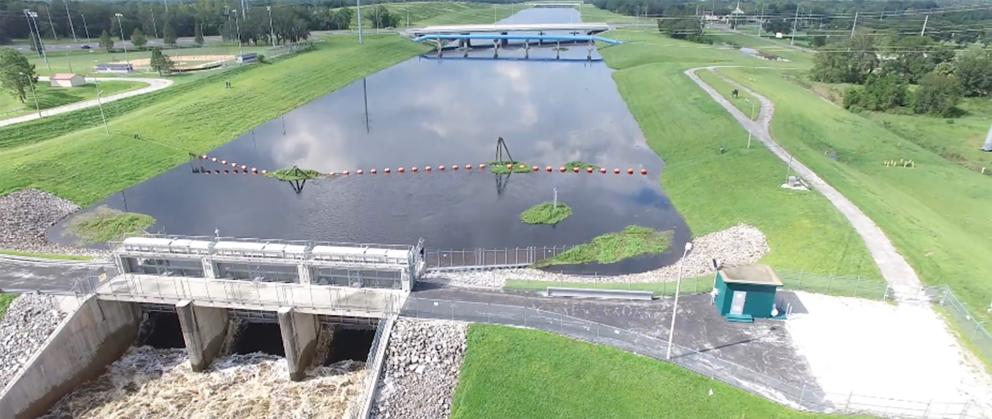
- Operates certain water control structures to prevent saltwater intrusion into inland water bodies by adjusting structure gate operations and heights such as the Lake Tarpon Outfall Structure.
- Evaluates the resilience of coastal water control structures to projected sea level rise and developing capital improvement projects, where necessary.
- Acquires and manages land that supports the District's flood protection area of responsibility to the region.
- Works with local governments to develop Watershed Management Plans that identify, prioritize and address flood-related water resource issues within a watershed.
- Partners with the Federal Emergency Management Agency (FEMA) in the development of coastal flood models to better identify flood risk from storm surge.
- Collects data and documents high-water incidents and events which helps track coastal flooding and storm events.
Water Supply
- Recognizes the risk of saltwater intrusion on groundwater supplies near the coast and surface water supplies near estuarine portions of river systems, and coordinates with regional water supply authorities to develop and implement regional water supply plans with this in mind.
- Works with regional water supply authorities and local utilities to develop alternative water supplies and promote water conservation because withdrawing less water from the aquifer helps protect against saltwater intrusion.
- Maintains ongoing collaboration with other agencies, water management districts, utilities, and stakeholders within the Central Florida Water Initiative Planning Area to address multijurisdictional water resource management concerns through implementation of sustainable long-term alternative water supply projects and conservation measures.
- The District participates in the Tampa Bay Climate Science Advisory Panel and is a collaborator as needed on the Florida Water and Climate Alliance.
Water Quality
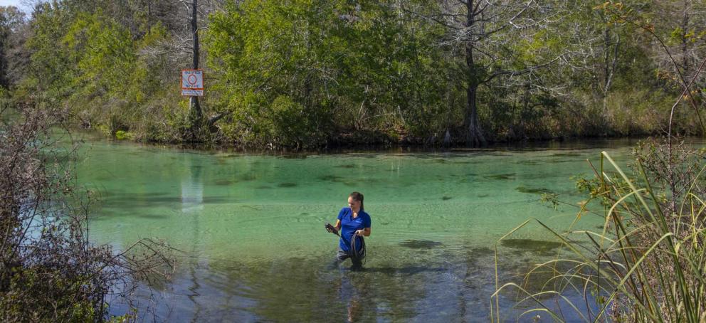
- Collects hydrologic, water quality and biological data that helps scientists monitor impacts from climate change. These efforts include:
- Monitors coastal water quality data, both surface water and groundwater, through efforts such as the Coastal Rivers Water Quality Monitoring Network, Project COAST, Charlotte Harbor Water Quality Monitoring Network and the Coastal Groundwater Monitoring Network.
- Monitors and collects hydrologic data and conditions throughout the District to include data collection at approximately 170 rainfall stations, 1,638 well (groundwater level) stations, 41 stream gage height stations, 435 lake water level stations, 230 wetland water level stations, as well as the collection of various meteorological data (e.g., temperature, wind speed, etc.) at several weather stations.
- Partners with the US Geological Survey (USGS) and cooperatively funding (with a joint funding agreement between the District and the USGS) the following data collection activities: water level monitoring at 16 groundwater monitor wells, continuous and periodic discharge and water level monitoring at 130 river, stream, spring and/or canal sites, and water quality measurements at 17 of the 130 surface water sites. Additionally, the USGS operates and maintains one evapotranspiration (ET) monitoring station and provides detailed datasets of estimated statewide potential and reference ET data.
- Partners with local governments on cooperative funding projects that incorporate resiliency into the design plans.
Natural Systems
- Incorporates sea level rise into its habitat restoration designs and landward tidal migration accommodations on major Surface Water Improvement and Management (SWIM) restoration projects.
- Uses 20-year sea level rise projections in estuarine models to account for changes in salinity on freshwater systems as part of its Minimum Flows and Levels (MFL) program, and it considers salinity incursion effects on coastal vegetation zonation in MFL evaluations.
- Collects aerial imagery through the District’s Seagrass Mapping Program since 1988 for the specific purpose of mapping seagrass habitat along the west-Central Florida coast from Cedar Key south to Charlotte Harbor. Seagrass are sensitive to changes in the environment such as sea level rise and are a primary indicator of estuarine health helping the District and its partners make informed resource management decisions.
Resiliency Funding Opportunities

The State of Florida through the Florida Department of Environmental Protection helps communities prepare for changes resulting from sea level rise.
Local governments and cooperators are encouraged to visit the following webpages to learn more about funding opportunities.
Water Resource Funding in Florida

