The District will establish minimum flows for the Withlacoochee river to protect it from harm caused by ground and surface water withdrawals.
Overview
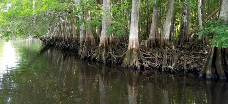
Minimum flows and levels are limits established by the Southwest Florida Water Management District (District) Governing Board for surface waters and groundwater that are intended to prevent significant harm to the water resources or ecology of an area that may be caused by water withdrawals. The District is required by State law to establish minimum flows on rivers, streams, estuaries and springs, and minimum levels for lakes, wetlands and aquifers. The District is implementing a multi-year process to establish minimum flows along the upper, middle and lower sections of the Withlacoochee River. The river is approximately 160 miles long and originates in the Green Swamp extending northward through eight counties before eventually discharging into the Gulf of America near Yankeetown, Florida.
Outreach Activities
District staff are starting the public engagement process early with a series of three kickoff public meetings. The purpose of the public meetings is to gather feedback from residents and stakeholders prior to gathering the data, which will help develop the minimum flows. Public input will be considered in advance and throughout the entire process.
Tentative Schedule
- Fall 2017–Summer 2024: Resident and stakeholder outreach
- Fall 2017– Fall 2022: Data collection and model development
- March 2018: Kickoff public meetings (visit online calendar for details)
- Fall 2022–Summer 2023: Development of recommended minimum flows
- Summer 2023–Summer 2024: Peer review, public input and workshops
- Summer 2024: Governing Board approval