Charlotte Harbor has about 985 acres of seagrass beds, according to the 2014 seagrass mapping study by the District’s Surface Water Improvement and Management (SWIM) program.
The District’s study results show Charlotte Harbor now supports 19,896 acres of seagrass beds. That’s the largest amount of seagrass measured since 1996.
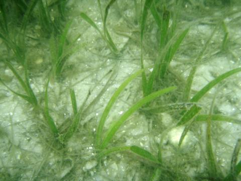
Seagrasses are an important barometer of a bay’s health because they require relatively clean water to flourish, thus they are sensitive to changes in water clarity and quality.
Charlotte Harbor is Florida’s second largest open water estuary, and provides some of the most productive estuarine ecosystems in southwest Florida. This is the third consecutive survey to show increases for the system from 2008 values. The study also shows gains in Lemon Bay and Sarasota Bay.
The District’s maps are used as a tool for measuring and tracking biological integrity of estuaries as it relates to water quality conditions. Seagrass generally grows in waters less than 6 feet deep, but in the clear waters around Egmont and Anclote Keys it can be found in water ten feet deep or more.
The District began its formal seagrass mapping program in 1988. As part of the program, SWIM scientists assess seagrass in five Gulf coast estuaries. Every two years maps are produced from aerial photographs and then verified for accuracy by conducting field surveys. The results are used to track trends in seagrass and to evaluate ongoing water quality improvement efforts.