Interactive Map
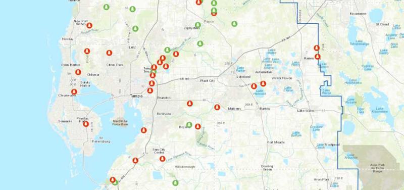
View the new interactive map that allows you to search, zoom and discover additional information about all of our recreation areas!
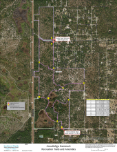
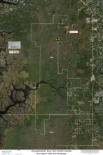
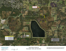
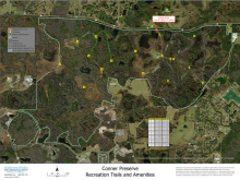
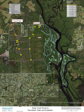
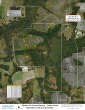
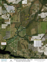
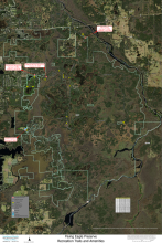
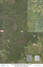
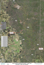
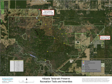
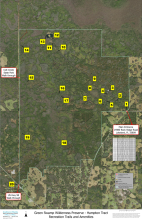
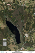
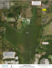
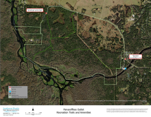
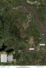
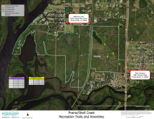
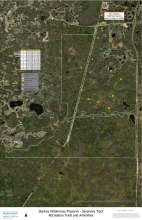
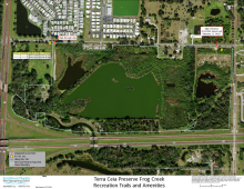
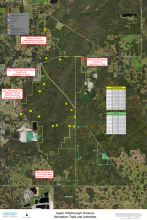
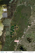
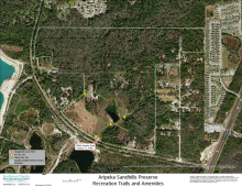
Georeferenced Maps
The District is committed to helping Florida residents and visitors enjoy the public land that we manage. As part of that effort, we will be publishing georeferenced maps for many of our most popular recreation areas. Georeferenced maps enable everyone to view their current location on special apps available for smart phones and tablets.
To learn more about these map apps, search for “PDF maps” in the App Store or Google Play. Once you’ve installed the app on your mobile device, download one of these georeferenced maps below before heading out to that property.