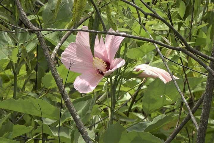
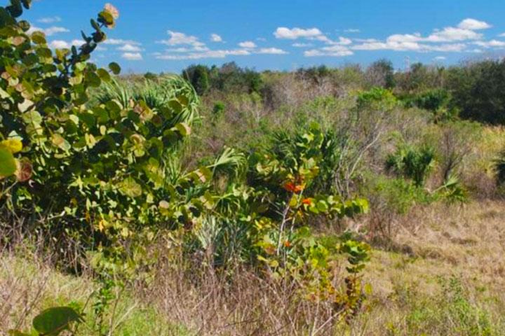
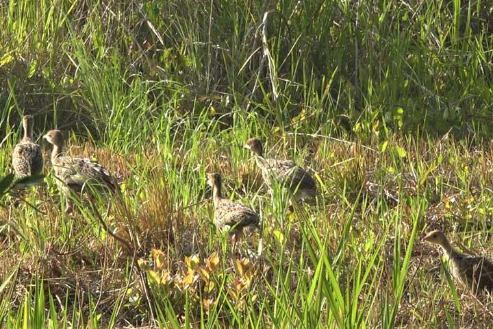
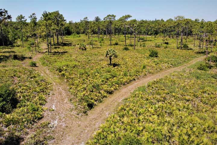
Browse Recreation Sites
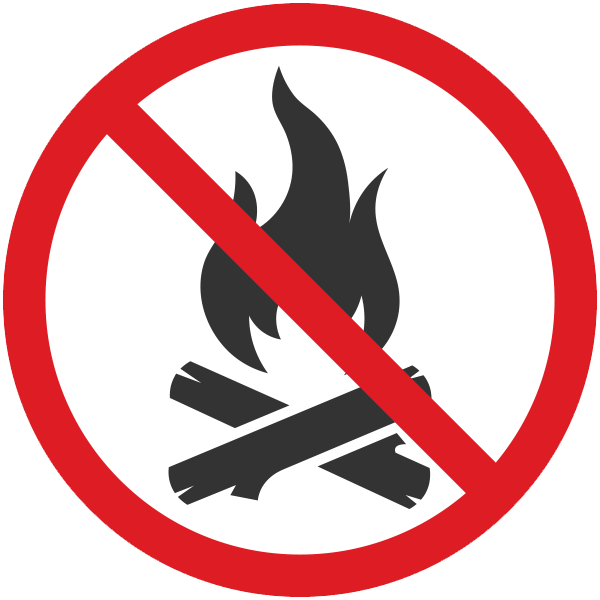
County burn bans are in place throughout the Southwest Florida Water Management District due to extremely dry conditions.
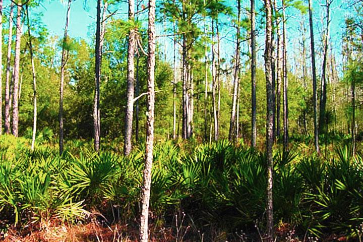
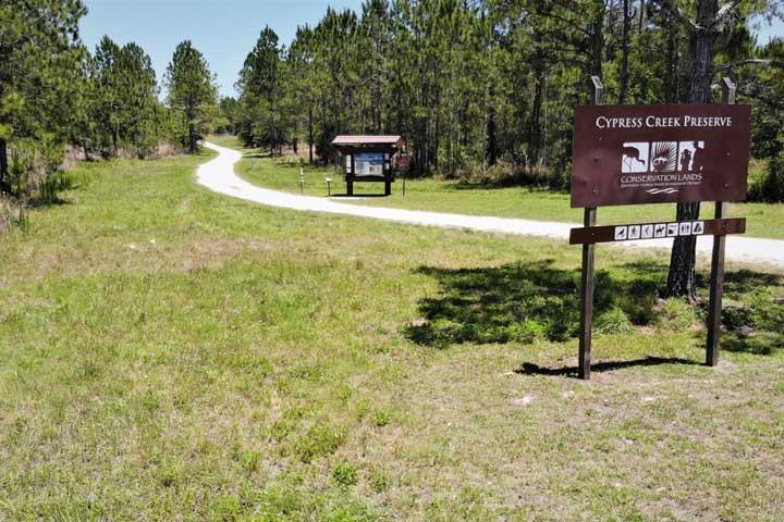
Campfires are prohibited until further notice in these District properties: Citrus County – Flying Eagle and Potts Preserve; Pasco County – Cypress Creek Preserve, Serenova Tract, Green Swamp West, and Upper Hillsborough; Polk County – Hampton Tract and Alston Tract; Hillsborough County – Lower Hillsborough Preserve.
Recreation sites search results
- 69 Sites
Please Note: Cooperatively managed properties are owned by the District but the recreational opportunities are managed by partner agencies. For specific details on cooperatively managed properties, contact the managing agency as listed.

Alafia River Corridor (Cooperatively Managed)

Alafia River Reserve (Cooperatively Managed)

Brooker Creek Headwaters Nature Preserve (Cooperatively Managed)

Brooker Creek Preserve (Cooperatively Managed)

Charlotte Harbor Preserve State Park (Cooperatively Managed)
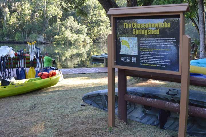
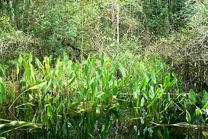
Chassahowitzka River and Coastal Swamps (Cooperatively Managed)


Circle B Bar Reserve (Cooperatively Managed)

Cliff Stephens Park (Cooperatively Managed)
Colt Creek State Park (Cooperatively Managed)
Dead River Park (Cooperatively Managed)
Edward Medard Park and Reservoir (Cooperatively Managed)
Flatwoods Park (Cooperatively Managed)