Interactive Map Gallery
The District’s new map gallery contains dynamic, interactive maps created by District staff. This gallery contains general purpose and District-specific maps. VIEW MAP GALLERY »
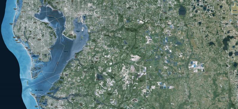
Aerial Photography
The District provides an extensive collection of digital aerial photos (DOQQ: Digital Orthophoto Quarter Quadrangle) available through the Florida Images Inventory. VIEW IMAGERY »
District Maps and District Service Office Locations
Our service office addresses and District maps pertaining to watersheds, planning regions and water restrictions, plus links to Google location maps. VIEW MAPS »
GIS Data
The GIS Open Data portal allows consumers to interact with data through charts, tables, and maps. The information can be of value to many governmental agencies, private businesses and the public. Use of these data require a general understanding of GIS. The data can be downloaded into spreadsheet format, KML, or shapefile. The Open Data site works best with either Firefox or Chrome and is available from 6 a.m. to 10 p.m. GO TO OPEN DATA PORTAL »
Survey Benchmarks
A collection of benchmarks established by the District — searchable by an interactive map. Survey control datasheets are available for download. All data are provided for information purposes only.
View District Survey Benchmark Interactive Map »
Didn’t find what you need? Try Land Boundary Information Systems (LABINS) »
Watershed Management Program
This program evaluates a watershed’s capacity to protect, enhance and restore water quality and natural systems, as well as achieve flood protection. Floodplain data have been developed for watersheds in the District and can be interactively viewed using our floodplain map viewer. GO TO WATERSHED MANAGEMENT PROGRAM »